Vallecito to Windom: West Mountain
San Juan National Forest
DAY 1 | DAY 2 | DAY 3 | DAY 4 | DAY 5
Click for map.
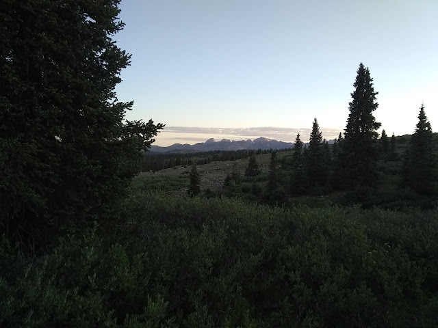
Since I stopped a little short of what I hoped, there are still 15 miles left to the car. My early start gets a little consumed in watching the early light play on the tall peaks to the north. Guess I can't get going at the expense of being where I am? Well, it is important to remember to enjoy the moments.
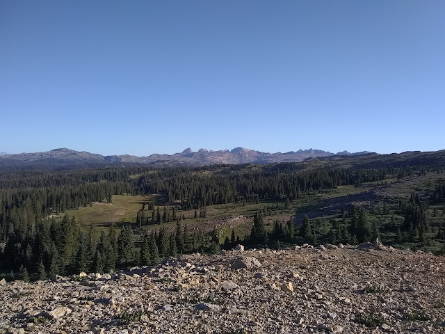
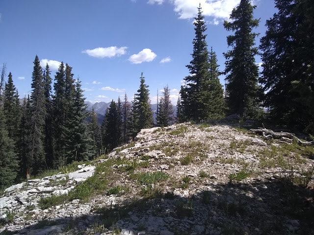
After some breakfast, light is all over here too. I have one more bald hump to get over before descending properly into the trees, leaving the wilderness somewhere in between. There's no sign to note it. Perhaps because the trail pops back in and out a few more times?


Down the other side and into the trees is a nice change. They aren't too thick. Actually, they were probably clear cut not too long ago. A day hiker standing around fiddling with something off on the side isn't too surprising. There are a bunch of old logging roads nearby and one that gets close to here is still open to the public. The footprints seem to go a few ways just past a junction with another old road, which is a good time to discover I lost the trail a half mile ago. I'm not supposed to be going down through the clear cut stumps. I should still be up by the ridge. I give the ridge a squint and there is a big road cut up there. That'll be it.

So back up I go to the day hiker who is still standing right where I left him. "Hello again. Seem to have missed my trail." He says it's right where he is and the road not too far below. Um... nope. This thin line through the grass over here is what I need. I want to get back to my car, not his. But it's good to know that access to Lemon Reservoir is easy even if the roads to that access are probably gnarly. In case I decide to come out for another excursion. (Hey, that makes it just 15 or 16 miles into Chicago Basin, so one long day as long as one is capable of it when much of it is above 11.5k feet. And the weather holds.)

My excursion took me past the area I thought I might camp. I thought there might be water around there, but it looked like the seasonal creeks were dry. I did possibly see a puddle of desperation water. The road the trail follows looks like it was a major artery with two way traffic once. Admittedly, for old dirt roads, that still isn't all that wide. Someone has left a couple 7 gallon water jugs at a turn, which is just weird. One still has a little water in it. I'm putting that in the desperation water category too.
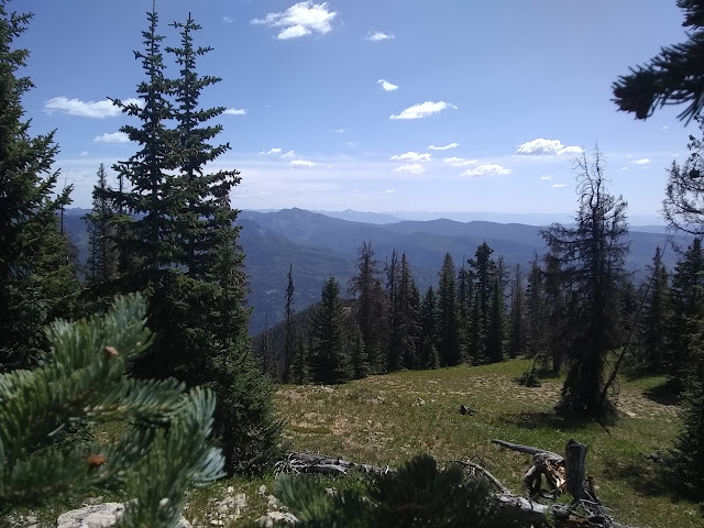
The old road has buddies and the trail picks and chooses. I can see alternate trail crossing through meadows and everything looks well used by hoofed creatures. And I'm off trail again. I backtrack to find that at a junction where apparent trail goes one way and the other is slightly "blocked" by a line of rocks, the Forest Service is certain I should go the other way. Fine, I'll stay high. In this case, it all is going the same place anyway.


Although I have miles to go, I can't resist heading up the nearby named peak. Miller Mountain is really close and not very much higher than I am and can kind of be done "on the way". Sort of. There is practically trail up under the trees. Well, if I'm honest, it looks more like an old fuel break.

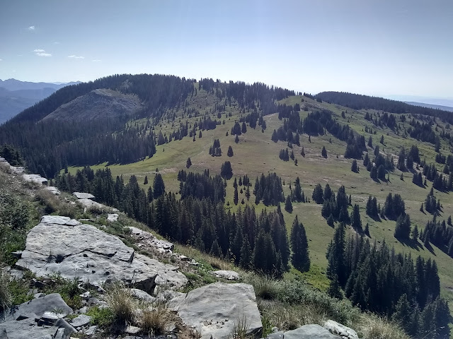
Getting down the more direct way to the next section of trail is a little steeper following near a fence that was down near the top, but is up and suffering on the side. I miss the first road off to the left. I can see it goes off and down and after I'm not sure. I go for the second. It looks like it could be a switchback where the trail could really use such climbing the short north side of West Mountain. It's not. I walk back to the trail shown on my map where I thought it would swing back, thrashing a bit of grass and hopping a tree or two. Well, I thought it would be easier. At the top, I head out for the high point. It's not quite as flat as all that, but is quite easy.

There is another register marking the top of West Mountain. The last person says they want to try to cut down to Eileen Lake, which has a trail up to it, to save some miles. It's something I've been toying with too. I think it wouldn't be impossible. On the other hand, ridge! On the third hand, I've just run out of water except that quart I got for luck and everything along my path is marked as seasonal. Oddly, the person wasn't back up to write whether it worked or not.

I'll stick with the plan. Ridge line it is. So head back to the trail and follow it. It's actually getting more certain, at least for a little bit.

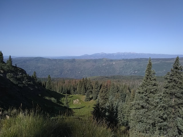
I must have got out of the clear cut, because the trees are big now. And all too many are dead of the actions of beetles. Many trees are down and old trail work shows the way through them with cuts. I have to stop and really look for the trail a few times, so I'm slowing down. A spring (somewhat on the way to desperation water) causes some confusion for where to cross a meadow, but there is a giant cairn on the far side. Not that I can figure out where to go from the cairn. A few hundred feet further, it follows the side of a creek (dry) and looks like another dry creek feels like it is dropping off the side of the ridge instead of following, but it is correct. Someone has put up a few ribbons, but they are not enough. I have to resort to following the electronic map with the GPS position a bit.

Then there is the fire. It's not so bad at first. There are a confusion of cuts like the makers weren't sure where they were going, but there is a mostly reasonable route through where the fire didn't take the forest. Where the fire did take the forest, there is a sort of change in erosion to call the trail. I get off it, but refind it again soon enough each time.


All too soon, I meet the alders. They don't seem to be growing as close as they were high on Sentinel Peak. They leave some space for me to get through. They're only knee high at first, but the lower I go, the taller they go. As it becomes a jungle, I somehow still lose trail through it. Then I have to trash my way back or in the right direction or at least in the direction there should be trail. The alder breaker has been here too, marking trail by breaking the little trees into it. I'm finding it a lot more irritating than I did on the way up to Table Mountain. A few times off trail, I find broken alders, too. I'm not sure what that's about. Just a single one among many, so it hardly seems natural.


I pause at one peak to see if I can find a section corner. Why not? It'll make me feel like I know where I am. The trail is clear here. As I look, I find a second clear trail with cuts through logs that then sort of dies to nothing. Er? No benchmark, though. A few old trees stand, but no bearing tree is noticeable. So it goes. As I lose the trail a couple more times, I decide I can follow the ridge much more easily. It's a rocky spine with a small ledge on one side. It's sort of clear. The electronic map says to go off to my right a couple hundred feet and I've drained 30% of the battery staring at it over the last 3 miles. I'll just stick to the ridge. The trail drops off to the left somewhere soon and I'll see it then, I figure. A saddle and then a drop off. I get to a saddle and the thin trail I am on splits left and right, but left is just hopeful people thinking they are there. As one of them, I increase it just a little with my footsteps there and back. Actually the trail drops off on the other side of the rise ahead, so I follow right to run into a trail deep with horse prints. It took 4 hours to do those last 3 miles. Four hours. The hoof prints look like a promise that it won't take that long for the next 4 miles.

There are a few low trees to step over, but it sure is a lot easier to travel where the horses travel. It passes near a seasonal stream line that is flowing. It is mucked about by horses that must have had to do some slight gymnastics to get through the trees for a drink. I do my own to try to get above it, but it doesn't work so well. This is only the second water since getting to the top of Endlich Mesa, so I need it and just have to get it near the hoof prints. It at least looks as though they didn't empty themselves there too.
A sign points the way to Freeman Park. I saw the park on the map and am not surprised to see some sort of trail there, but what's with all the signed trails that aren't on the map? I'm feeling done after pushing through all the alder, so I'm not going to explore it. The horses sure did.

The trail follows road a short way, going past a burned out foundation, then leaves it again. At least I assume it does. Lots of footprints go both ways.

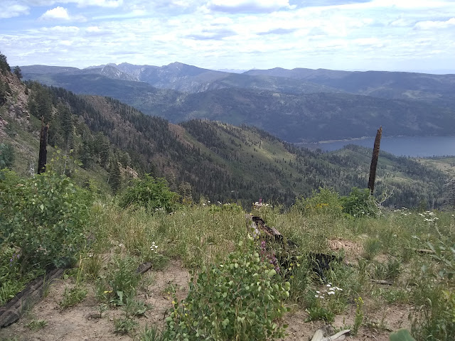
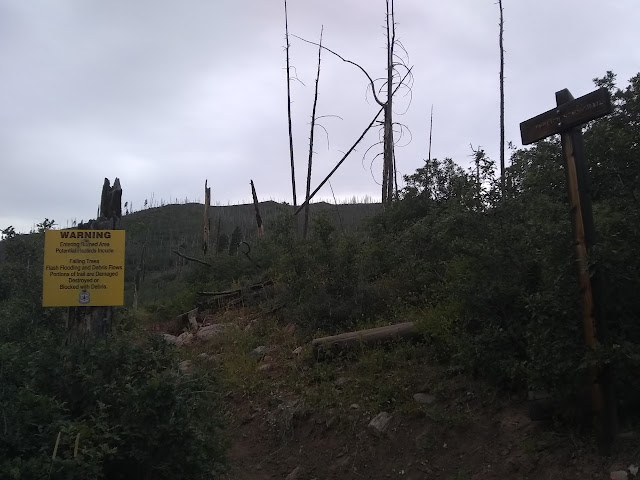
It must be trail because there's a trail runner coming up it. He takes one look at me and decides he must congratulate me for trashing through what lies above. Apparently I have too much soot on me to have tried it and come back down. He also has all the gossip about the trail and why it is in such a state after a fire in 2002. (The Missionary Ridge Fire does seem to be the area's memorable one, but by far not the only.) He says the Forest Service is doing various things to basically sabotage the trail so they can get rid of it. Before, it didn't dip into the wilderness between Lemon and Vallecito, so bicycles would enjoy dropping in at the top for 7 (well, 10) miles of beautiful single track. Also, maintenance could be chainsaws doing the same thing. Now the trail pops in and out of the wilderness so neither of those is possible. He says there has been no maintenance since the fire. And when someone complains, there's a mumbling about how it goes through (some) private property. This does seem supported by the way the line on the USGS map exactly follows the wilderness boundary as though the trail was, by definition, the boundary. [Also, a chat with a ranger later contained the offhand remark that Endlich Mesa is not so great because it goes through private property after he waxed poetic about the possible things to go to along the Pine River Trail which passes through 3 miles of private property. Endlich Mesa only does for 1/3 of a mile. There is certainly not a consistent attitude.] Contradicting his remarks is that there were tree cuts along the new trail route and there are little pink flags marking off sections for some trail project on this part below the dirt road. Anyway, I can't do the loop I did without these 10 miles from Lemon Reservoir, so I say they are needed. Although I wouldn't mind a trail through Fall Canyon showcasing what I assume is its namesake.

The trail is marked by a little wooden sign that is almost unnoticeable. They did remember to put a big yellow burned area warning that would make it obvious if not for being about 300 feet up the trail from the road. There is a turnout by the road for parking that might fit 3 cars and the only sign nearby is the 17 mile marker under a 25MPH speed limit. This trail is too long to force everyone to only day hike it. Well, this trail runner says he got his Ventura brother out to the Backbone Trail for a through run at 4AM and finished around 8PM, so he might be able to see quite a lot of it if it were cleared. That's 68 miles of trail. But for those of us who think the Backbone Trail would be at least 4 days, we need our trailheads to be treated better. Anyway, I'm done with the payment required to do this loop that I didn't know about. Time for the payment I did know about: 4+ miles of road walking.

I do kind of think I'd have had an easier time of it trying the cross country down off the top of West Mountain to Eileen Lake, and I'd have trimmed some miles just like the previous signer on the register said. Those miles would have included 1.5 of road walking.

I am put out of my misery of road walking by a kind couple from Farmington. They say it is time for the day to be over, and I have to agree whole heartedly. His brother, who lives here and has been trying to find all the trails for the past two years, has just now found Endlich Mesa. It is definitely well hidden. I also apparently chatted with him very briefly at Cumbress Pass because that's how small the world is out here. I am off to see the cat. He was a good boy, except apparently there was a mouse and when it went for his food, he couldn't even bother with it enough to watch it, much less get rid of it.
©2019 Valerie Norton
Written 10 Sep 2019
Liked this? Interesting? Click the three bars at the top left for the menu to read more or subscribe!


Comments