Eldon Mountain Lookout via Fatmans Loop
Coconino National Forest
Click for map.
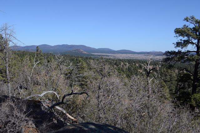
With peak bagging on the mind and the big one settled, my attention turned to Eldon Mountain. Sunset Trail is close to my camping spot and the sign says 4 miles, so I wanted to go there, but the more complete information at the kiosk says there's a forest thinning and controlled burn project going on to try to improve the overall health of the forest. The closure for that work rather blatantly includes most of Sunset Trail. Instead, I'm off to hit the another of Flagstaff's most popular trails: Fatmans Loop. Humphreys Peak and Fatmans Loop are actually the two trails called out as favorites on little pieces of paper in the shoe section of the local REI as some sort of color. (One has a lot of time when glaring at the shoe section wondering why most shoe manufacturers like a toe shape that has nothing to do with the shape of the end of the foot and why none of the few acceptable shoes are in the right size at this store and how one goes about guessing which one will feel best when it is ordered in the right size. Oh, and can they maybe put some proper deep tread on it? My satisfaction with the Altra Lone Peak shoes I got last has been mediocre and they're already starting to slip on the trail plus there are holes on both sides of the balls of my feet on both shoes.) This one has about as many cars as Humphreys did, but they're switching out more. The loop itself is only about 2 miles.

For a little strangeness, someone with Utah plates asks me if he's in the right spot. As far as I know, as someone who also obviously not a local. I get started down the wide trail surrounded by sparse trees with very little undergrowth. It seems to be the norm although the trees around Humphreys were much thicker and taller and older.

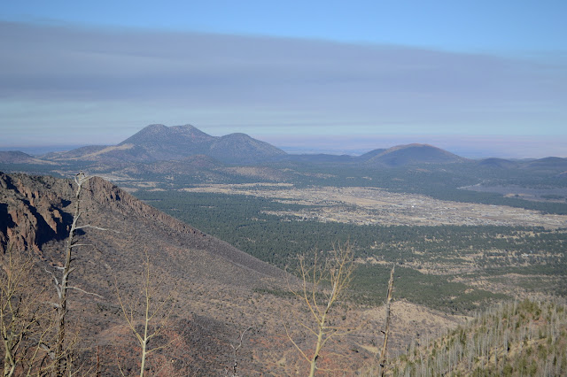
It's a short way to the junction that starts off the loop. The sign tells me to go left for the lookout, but I hang a right to get the larger part of the loop before starting for the top. There are extra trails all over, some well trod, but none as wide as the main trail. Other official trails tie into this trail system too and there are signs at these intersections. The slopes above are scared by an old burn and subsequent mud slides that left them without much soil for new trees to grow. The kiosk tells how a teenager's campfire started the fire and the aftermath that set fear into the hearts of the locals who live among active volcanoes.


The trail somehow manages to thin out greatly at the far end of the loop where it starts climbing up and almost through some boulders. Maybe I missed the main trail. What I get is quite the odd squirming thing before it starts back the way it came, but much higher up.


There is warning about the trail closure ahead when I get to the lookout trail heading up. It says there's only 1.6 miles left to the top although there's about that many thousand feet too. It's going to be steep if that's for real. No other way is presenting itself at the moment, so I'll just have to take it as it comes.


The trail has some rather absurdly steep rocky spots to remind me of Tunnel Trail in Santa Barbara. It is a little longer than advertised, but not so much as to make it something other than very steep. There is another warning about closure blocking off Sunset Trail, but all is clear on the short bit of trail left to the peak.


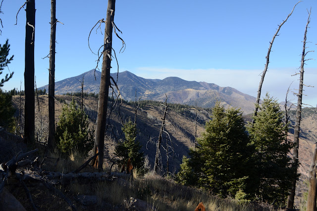
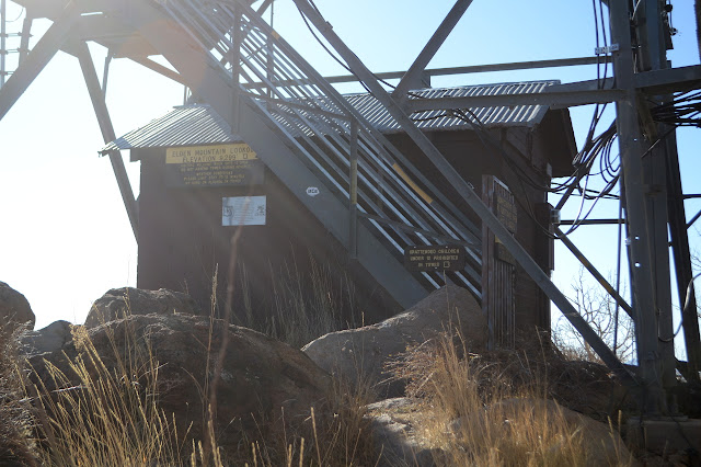
The trail runs into the road just short of the lookout. No bikes are allowed. The lookout is unmanned today, but when it is and with invitation, one can go up to the top. The benchmarks are in place from 1958. That doesn't seem so old. I look around a little more before finding a spot to sit and watch Humphreys.


It is getting late, so I need to make my way down again. The shadows are quite deep as I go although it's just late afternoon.

Down at the loop, I take the short way this time. There were still a few going up to the peak and plenty coming around the loop.


Back at the parking lot, it is filling quickly some are adding a row down the middle. People have just got off work and the place is about to go from busy to crazy. I got out just in time.
©2019 Valerie Norton
Written 16 Dec 2019
Liked this? Interesting? Click the three bars at the top left for the menu to read more or subscribe!


Comments