Walker Lake, an evening volcano walk
Coconino National Forest
Click for map.
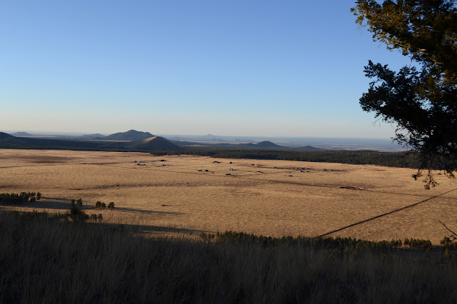
There is not really anything about this spot, one of the 600+ volcanoes in the area, to set it apart. I wanted to find five geocaches today and it has five challenge caches I qualify for ringing its top. Although unnamed, its crater bears the name "Walker Lake" on the USGS map. A road once circled this little pond, but vehicles are no longer allowed. The roads to it are a little rough, but I could have driven my little car a bit closer. There just didn't seem to be any point to it since I have time and walking is good for me. The forest low down on the plain seems a little dark and brooding, but it brightens once I get climbing. It's not that far.

Faint paths break off right and a little later left as the road reaches the lowest spot on the lip of the crater. The track seems to vanish just past the top, but the rest of it can be seen below and circling the lake. It is really there, small and icy. I take the left path to start circling around the top.


These little volcanoes resemble a child's drawing from afar. The are round with a dip of a crater in the middle making the lip a big circle to walk around. A little closer up, they tend to favor one side heavily, so that big circle is not very flat. I walk upward, first at a gentle slope, then a bit more steeply, as I move toward the high point on the far side from the road.
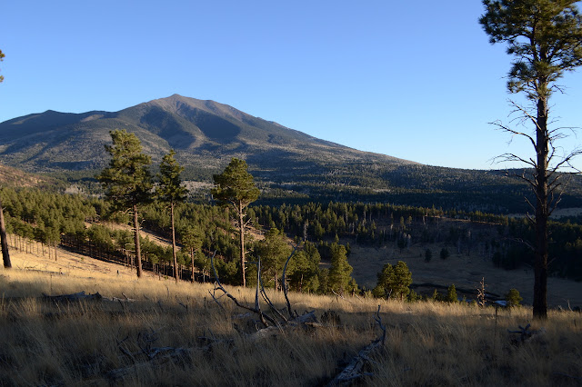

There was a fire through here not too many years ago, although it really seems to have burned only half the volcano. The high point and bits west had the worst of it and now there is a lot more view from these areas. I seem to have come up the steep way. The slope down the other side is much more even and is the larger half of the circle.


Then the path delivers me to the old road once again. I head down and away. I got all my geocaches and had a more pleasant little walk than expected. There's quite a bit of gentle beauty up on a random little volcano.
©2019 Valerie Norton
Written 22 Dec 2019
Liked this? Interesting? Click the three bars at the top left for the menu to read more or subscribe!


Comments