O'Leary Peak and Lookout, Darton Dome, and Robinson Mountain
Coconino National Forest
Click for map.
I almost went for O'Leary Peak instead of the wanderings I did on the fee free day, but it is actually just outside of the monument and requires no fee, so I came back for it. It didn't take long. Today I'll make my way to the lookout, which has road all the way up, then decide what I feel like stopping by on the way down of the various smaller peaks near the road. Three other cars have beaten me here.

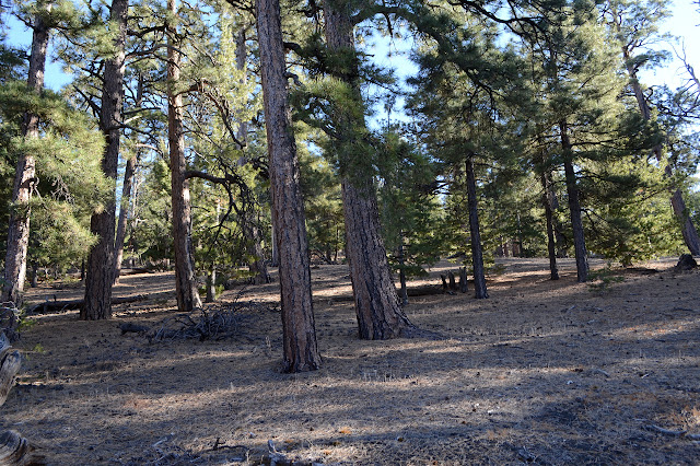
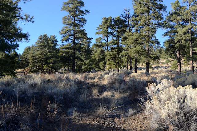
The road rolls a little, first dropping and then rising, as it wanders the forest toward the base of the volcano that holds the lookout. Trees and cinder and only the slightest undergrowth stretch out every way. It swings northward as it comes to the edge of the Bonito Lava Flow. Little signs march along the imaginary line between forest and monument as it cuts through one corner of Sunset Crater National Monument.


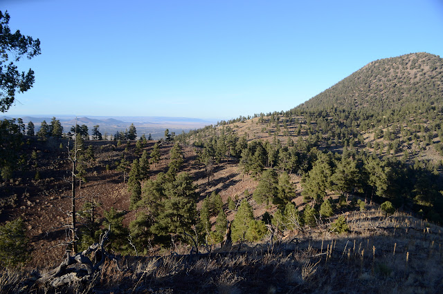
My map shows another road going up to a saddle and over to the north, but there is nothing there. The map even indicates that it might be the better road. Looking at the landscape, I expect that if it really exists, it leaves off much higher. Climbing gives ever greater views of black lava flow, black hills, black mountains among the rolling expanse of trees.


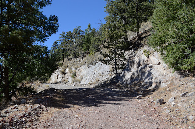
Right where I expect it, there is a road. It is certainly not the better of the two. It has a cable across it and growth almost as thick as the forest floor, which in this area is actually thick enough to be a mild nuisance to walking. I'll take a little bit of it if I decide to hike Robinson Mountain. For now, upward, passing the occupants of at least two of the other cars coming down already. Even on this day when the high is only supposed to be 59°F, it feels warm on the south facing road cut.

The saddle that will be a good place to start up Darton Dome seems to have some parking, but that might have more to do with the old gate than the little peak. It does seem to have a little bit of trail up it, but that might be from animals. Further up, it is obvious that this road is a geology tour. One cut shows the layers and layers of red cinders from at least three eruptions, then a distinct dividing line before a second cut that displays fused ash full of little rocks that were also raining down at the time. How the two distinct parts of mountain came to be is undoubtedly another interesting geological story.

The road gets up to one last saddle where there's a very steep and distinct trail going up to the other peak. The lookout is another quarter mile. The last 100 feet or so is extremely steep, but someone long ago "paved" it in old portable aircraft runway pieces. This is the first time I've seen it as something other than a barrier to hold trails in place.

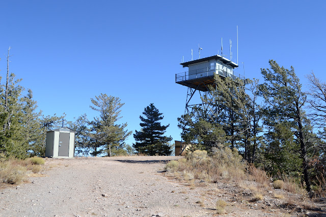
Up at the top, one lookout, as promised. It is even active, but not right now. Right now it is closed up for the season. There are some cameras to be sure no one does anything dastardly like climb the steps while there is no lookout around. A rock outcrop to the south is the high point now and the benchmark sits perfectly centered below the tower. There's not a lot of view to the east without climbing the steps a little bit due to the vegetation.

I still try to get in all the view.


Except this isn't the peak at all. Peakbagger tells me the other one is slightly taller. Actually, it does look it. And that explains the trail going up it. Well, I'll at least have to hit that one one the way down. Or rather up some more since it is a few feet more. So back down and across and up. The trail is through loose dirt and cinder and climbs way too steeply. It may not need to get a lot of use to be so visible. It gets up to a thin backbone of rock sticking out of the dirt. The Forest Service set their own benchmark in it almost 20 years before the one below the lookout.
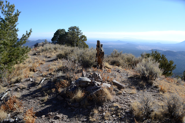
I look about, pondering the gravel pit to the west and the smoke still puffing away. There seems like an awful lot of it and all too close to my camp. That's still miles and miles away, but a good wind can totally help it make that run. They wouldn't have lit it if such a wind was going to happen. There's not quite so much distance to see with it going, though. I try to keep my pouting about it to the reasonable stuff.

I head down, pondering again the geology. The cinder layers have thin, tougher layers between the thick layers where weathering took place between each coming down. And I think I will go up Darton Dome once I get back to the saddle with it. May as well. Besides some rock outcrops to avoid, it's just a walk up a cinder slope. It's more work than it ought to be for the height, but if I walk without pushing at the end of each step, I can avoid some wasted energy on the shifting ground. It's a similar art to getting through sand.
The top of the dome is indistinct. One of three rock outcrops is probably the high point. The tallest outcrop looks like it once had register tucked away, but there is none now. I decide the top is a shorter outcrop sitting on a higher spot. There isn't much to offer in view between the trees. Another look down onto Sunset Crater and, well, trees.

Then down again. I can't help but notice that the light is a lot better now for the photography of the dark things down below.

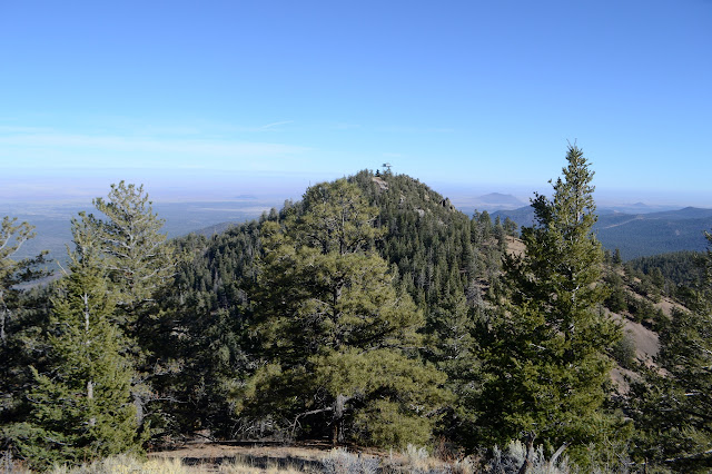
I have enough time to get up Robinson Mountain for sunset, so I shall go for it too. There is actually only a short section of road that is closed, but the road beyond hasn't been used in a long time either. I wonder why as I almost loose it in a flatter area. At the shoulder, a tree has fallen over part of the road, somewhat obscuring it. The road users have redirected all their energies to going directly up the peak, which is clearly the more interesting thing to them. I follow it most of the way up a section too steep to be legal going to a false summit, then break to the south to follow the crater rim to the real high point.

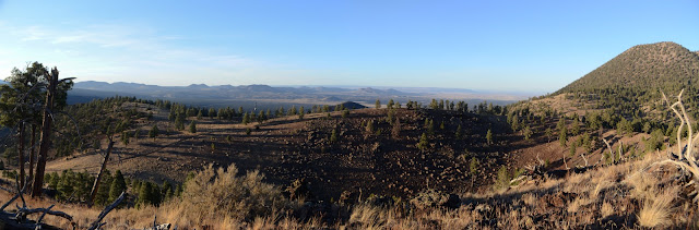
For a spot to sit and look out over Sunset Crater National Monument, I suspect that the top of Robinson Mountain at this hour is hard to beat. Everything stands out beautifully, at least until the shadow of the mighty San Francisco Mountains stretched out over the whole thing. Sunset Crater never gets to see the sunset.

Once the shadow of the big mountain takes it all in, I start down. There is plenty of light to navigate back to the road by a little shorter route, and then down to the smooth maintained road. It is still 2.5 miles back, a long way way around to the start again, but following that smooth road is very simple. I realize halfway along it that it would probably have been just as easy and quite a bit faster to continue on the faint trail around the crater and down a side without too much slope to the back of Bonito Group Campground. Others have gone up this mountain that way. Oh well. I think I'll celebrate being on the mountain at the right time instead of brooding on that. Oh, the light, the light!

©2019 Valerie Norton
Written 22 Dec 2019
Liked this? Interesting? Click the three bars at the top left for the menu to read more or subscribe!


Comments