Tom Moody Loop
Picture Canyon Natural and Cultural Preserve
Click for map.
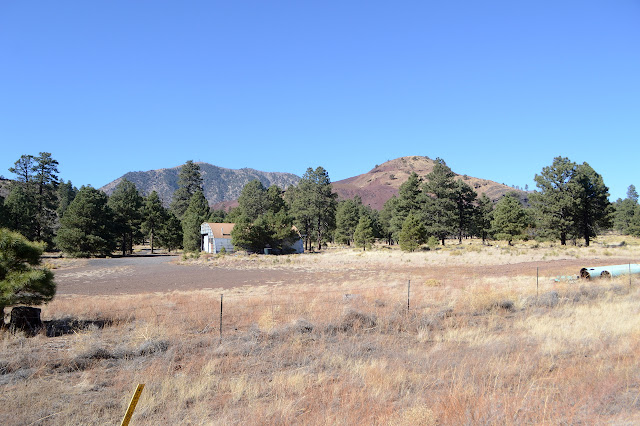
Picture Canyon is a little bit of open space developed jointly by the City of Flagstaff and Arizona State Parks. It boasts cultural artifacts and plenty of birding. The Tom Moody Trail makes a loop through the area to take in some of these. It sits at the edge of a couple bits of industry and my nose can't help but tell me that one of those is sewage treatment. Um, I mean "waste water". That won't dominate the whole area, but it is noticed in the wetter spots.


Trail heads toward the smell past an "outdoor classroom" that is benches and a semicircle of educational signs, then the loop splits. I head left away from the smell and into the trees, but also away from the cultural artifacts. It's an old road through gentle hills, then developed trail although there is plenty more old road to follow. They might not have liked it much because it is showing a bit more erosion than is optimal.

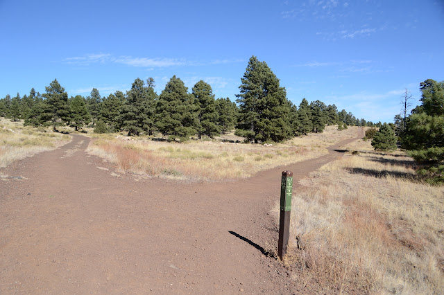
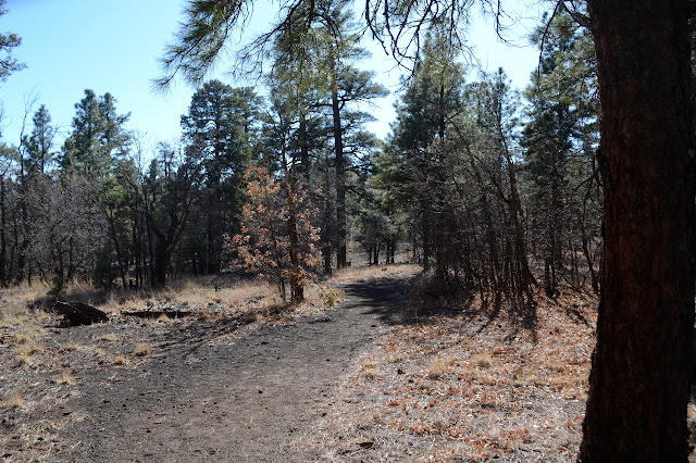
After a little climb, I cross the Arizona Trail. Does that qualify as a cultural artifact? It certainly could one day. There is a nice sign at the junction in case any hikers of that trail might want to partake in the park. I'm not looking for my loop to be shortened, so stick to Tom Moody. He winds a bit through more trees.


After a short distance beside some farms, the trail tucks in beside Rio de Flag. It has some water in it, but it is rather reliable for that these days. This is where the cultural artifacts noted on the map at the start hang out. First up are the pictures of picture canyon. There's lots of signs to help interpret them.


I'm clearly going the wrong way around the loop. There is a sign to direct folks into the petroglyph area when coming the other direction. I get back to the Arizona Trail once more and this time join it. Only because that's what Tom Moody does, though. I get a nice little bridge over the tiny river so I don't have to touch the water. Little signs on either side of it state "non potable water do not drink" which doesn't quite capture the full truth of this water for those who might not have seen any water since Little Eldon Spring, and that not the nicest looking stuff.

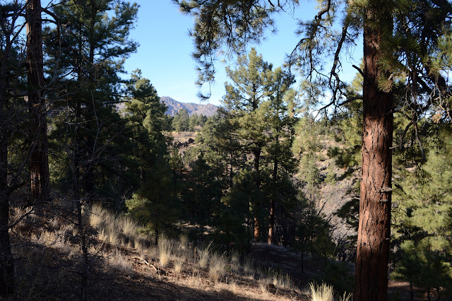
There is another sign to invite Arizona Trail hikers to see the park as Tom Moody leaves it once again. It seems to be heading off to follow some utility roads while Tom Moody turns to pick up old railroad grades along the side of the properly canyon-like portion of Picture Canyon. I can hear the sounds of a waterfall within it, but again would have been better directed to see it had I been going the other direction. It takes me a couple spur trails to find it.


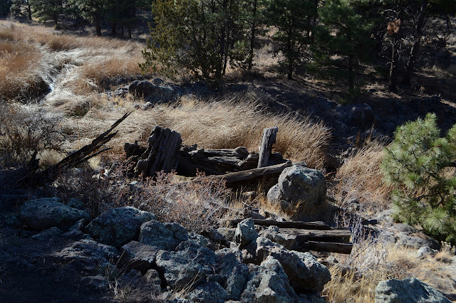
Soon after the waterfall is another cultural artifact that is much younger than the previous. Along with the old railroad grade is an old trestle. The railroad was built to harvest timber in 1908 and 1909.
Things are getting pungent again as I continue on. The prime bird watching area, particularly of water foul, is right up ahead along with the bit of industry that ensures this area has a nice flow of water year round. There are also plenty of signs extolling the benefits of wetland areas and how Rio de Flag is much better now that it is no longer channelized. It prevents downstream flooding and helps restore the aquifer and attracts birds. My approach more sends them on their way.
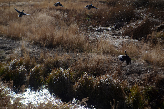
It really is very pungent around the ponds today. I won't be sitting quietly until the birds feel okay about my presence. I finish off the loop instead. This time the crossing is on earth locks, but still keeps the feet dry.
©2019 Valerie Norton
Written 23 Dec 2019
Liked this? Interesting? Click the three bars at the top left for the menu to read more or subscribe!


Comments