Kelsey Range: finishing South Kelsey
Klamath National Forest
DAY 1 | DAY 2 | DAY 3
Purple line for day 3. Click for map.
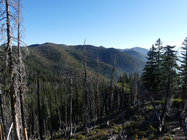
I took minimal water from Willis Hole knowing that there was nice flowing water just a mile away along the trail. It was even more minimal thanks to the 2 extra liters I'd carried from Bear Lake. That was, um, heavy. I felt super light as I left. On the way to the water, I walked out onto a well burned viewpoint to see that the smoke was looking settled in the valleys of Dillon Creek this morning.

Then I walked down the hill and missed the trail I'd just walked the day before, taking a bit of tiny wash instead. I checked my track from the day before to see where I should be, then walked back a bit past a chunk of wood that had seemed familiar up to the trail once more. It was right where it should be. I built another cairn before continuing on to the water.
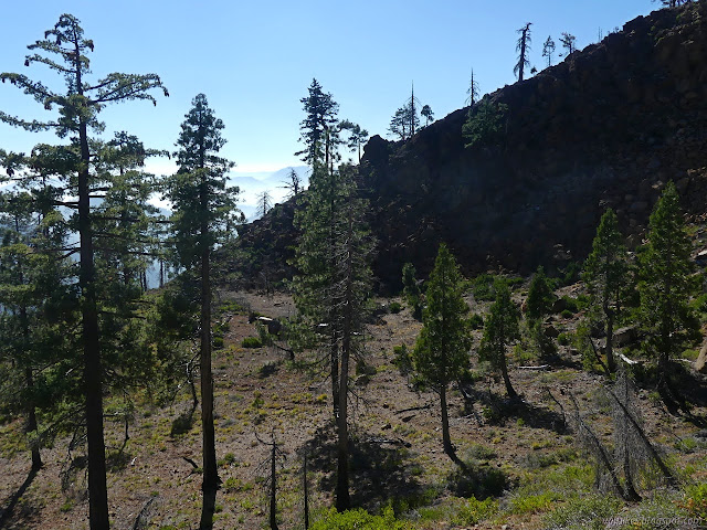
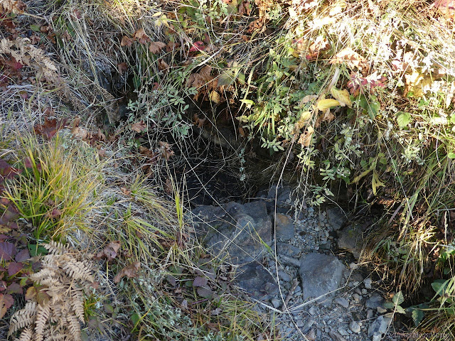
The water was just as yummy as I hopes. I expected a warm day again and got 3 liters. The day before had made it to 75°F. Not exactly sweltering, but it felt plenty hot. Then it was up erosion trashed trail to the exposed ridge once more.


I sort of wanted to tag Red Hill as a named peak, but didn't. I had time. I should have. I was thinking from the high point of trail on the south side of the mountain. I dutifully followed trail instead.

I watched as the smoke was pushed further up Dillon Creek and started to get whiffs of it. To the north, the smoke continued to go east. Along the ridge, I was sometimes subject to winds also heading east and at others had wind coming up northwest with another whiff of smoke.

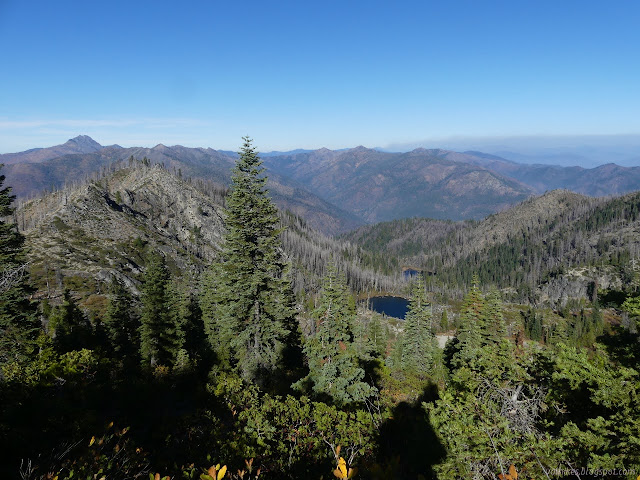
I only had two miles left as I got into that last liter of water. I could have made it with a lighter load, but I'd rather have it. I was getting more and more consistent smoke, though always light, as I finished the trail.


I arrived with time to drive down to the start of my final trip, but suspected it would be smokier. The wind picked up in the evening in that exposed saddle, but the sunset and sunrise watching opportunities are excellent.
©2020 Valerie Norton
Written 19 Nov 2020
Liked this? Interesting? Click the three bars at the top left for the menu to read more or subscribe!


Comments