Marble Mountains: Spirit Lake to Blue Granite Lake
Klamath National Forest
DAY 1 | DAY 2 | DAY 3 | DAY 4 | DAY 5
Orange line for day 4. Click for map.
My hypothesis of warmer by the lake when all is freezing around and the lake hasn't even started freezing did not seem to test well. I had a lot of below freezing hours and the water I left on the low table among the trees didn't show the smallest sign of ice in the morning. I did get the first light to hit the lake. It seemed like quite a pleasant day, but I suspected that would only last for as long as I was in the bowl of the lake. Still, more points to Spirit Lake for the pleasant microclimate and morning sun.

I was wrong again. It didn't turn miserable once I got up to the main trail. It took a little more climbing to get out of the shelter of the ridge. When I did, the wind was not quite so bad as the day before (which really didn't rate miserable, just uncomfortable). I noticed a pond a little way down the north side of the ridge. It looked rough, but reflected perfectly because it was already iced over.
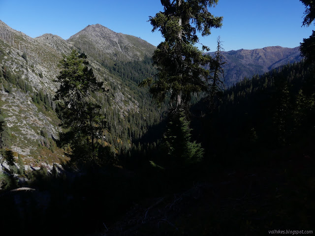


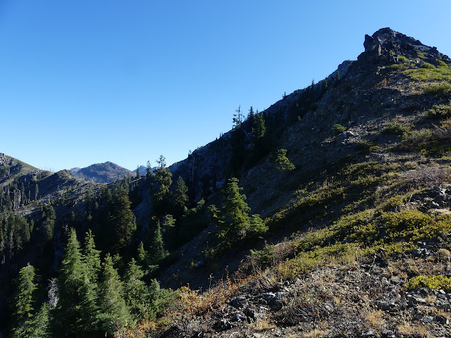
I decided at the western ridge that I would go ahead and tag Pigeon Roost. It threw a more interesting climb at me than I was expecting. I encountered a couple fins toward the top that required a steep downclimb just big enough to look mildly dangerous. I chose to back up and go around them.

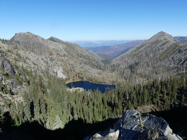
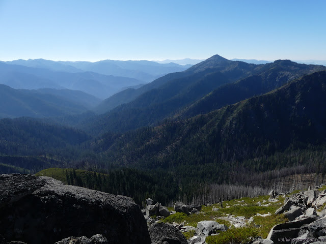
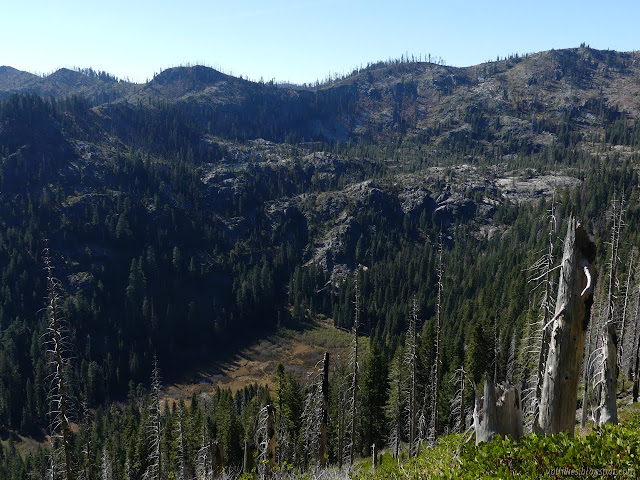
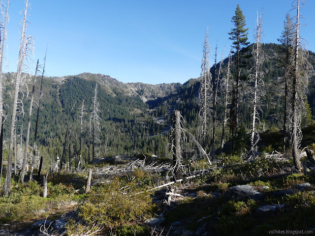
I wasn't expecting any benchmarks at the top, but I found a drill hole. I could see Deadman Lake as well as the Cuddihy Lakes. Far out there was a faint Mount Shasta with a few clouds and a little snow. As big as it is, it barely showed.

I decided to drop off the peak going south to the trail. The surface is so loose with random bits of vegetation that it probably wouldn't have been an easier way up. It was disturbing that I couldn't even see the trail below me until I was almost on it. This bit is the brushiest along the ridge. It got better as it got closer to Cuddihy Lakes. I never found a spot to look down on Blue Granite Lake. When less than two miles away, I briefly thought about a cross country route rather than the much longer on trail route. It looks possible.


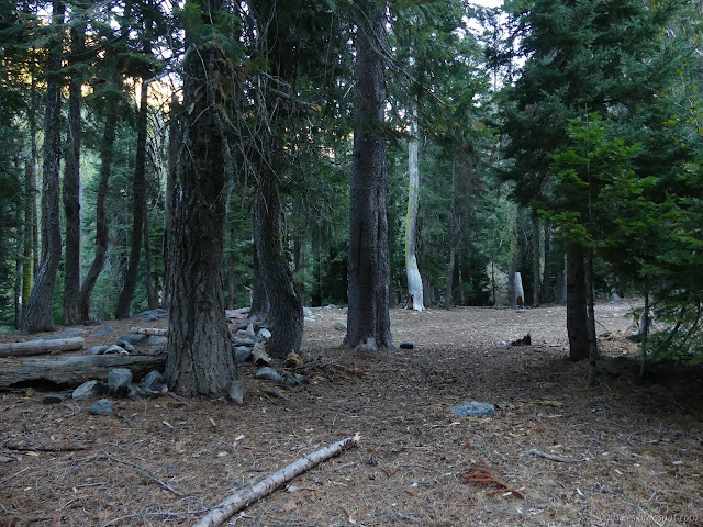
Trail at the junction to Cuddihy Lakes is so heavily used just for the lakes from the other direction that I had to step over a berm. A short way more and I was on familiar trail from hiking from Monument Lake to Ukonom Lake.
Horses had been to the top ridge, but there is a little bit of a view there. It's certainly worth the short spur from the well used bits of Haypress Trail. As I came down, I found the trail not quite so familiar after all. The overgrown switchback had been cleared so that people could use it. The tree mysteriously cleared 20 feet above the trail had been properly cleared along with all its buddies. Sweet. I was looking forward to the newt pond just past the stream (decent place to grab water, which I needed, and could have had a look for my bandana if I hadn't already found it in the wrong pocket) although I suspected newts find something else to do than float around once it gets cold.
Another junction, and I was onto new (to me) trail once more, dropping down to the Granite Lakes. Did the trail work go that way? Yes, it did! Not that there weren't already trees down. All of them were small (a foot or less) except one that had broken in such a way it looked like a couple strong people could clear it without any tools at all.

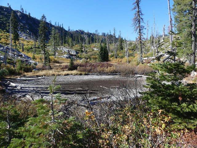
I missed the trail where it crosses the creek coming off the higher ponds. While they were drying, the creek had found some water. I continued back up the hill after crossing, getting into a meadow soggy with spring water. The trail stays down close to the creek before getting up away from the water. Other than that, the trail just flowed downhill easily.

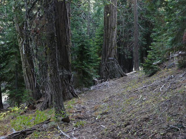

I found the trail to Blue Granite Lake to be a little hidden, but the trail itself looked as used as the one to Green and Gold. People might just take it to the creek to find a camp on their way to Ukonom Lake. There are two crossings and I found trails meandering up and down between them. I wasn't even sure the second crossing was trail because it sort of jumps off a high bank into a deep spot. Well, relatively deep given its a small creek. I edged around the side through some thorns to use a big rock to cross. On the far side, there was a veritable canyon cut through the ash. As scrapy as the trail there looked, that seemed suspicious. It gradually turned back into distinctly built trail as I climbed up to the lake.

The trail is quite eroded as it drops the little bit to the lake. There's lots of camping space at the end of the trail. I wandered around a bit finding a well used trail through the meadow. It passed through the middle of a wide spot of one of the generally thin streams that feed the lake. Willows to the side do a good job of blocking any progress where the stream isn't a wide puddle and I didn't want to wade it, so I didn't get to see what it goes to. I had a nice enough spot anyway with a little trail down to a beach of sorts sticking out into the big lake.

I settled in and watched the sky change colors and as the light failed, there was a huge crash of rockfall. I expect that spot hit freezing and a little water froze in just the right spot. Signs of rock fall are clear on the side of the lake by the camp, but it is a wide meadow away. I wasn't worried about safety. It still took a while to stop feeling jittery.
Liked this? Interesting? Click the three bars at the top left for the menu to read more or subscribe!


Comments