Marble Mountains: Paradise Lake and Kings Castle
Klamath National Forest
DAY 1 | DAY 2 | DAY 3 | DAY 4 | DAY 5
Blue line for day 2. Click for map.
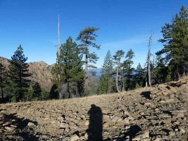
It wasn't even freezing overnight. I expect the temperatures were more at the mercy of the whims of giant air masses moving past than elevation. I decided that I would go up Kings Castle, partly influenced by the fact that someone had marked a trail up it from Paradise Lake on OpenStreetMap. I mean, if I can just walk up it, why not? First, I had to get going in the shadow, which I managed to do not too long after 8AM. Packing managed to aggravate whatever I did to my hand the day before. While the campsite hadn't froze, there were spots on the trail that had and were still frosty. It took a bit of climbing before I got warm.

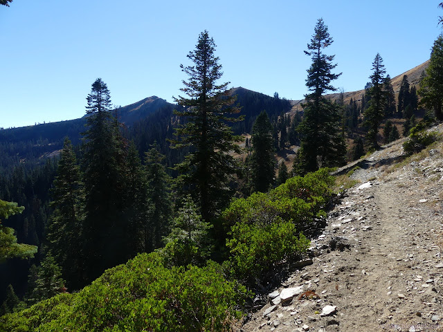
I turned south on the Pacific Crest Trail. It's about time I set foot on the PCT in northern California! Oh, wait, I did stomp on a bit of it in Plumas and there were a couple wanders of Warner Valley before that. But this is after the big turn south. I expect the average through hiker hates this bit since they hit it in the height of summer and it's only 6000 feet up.


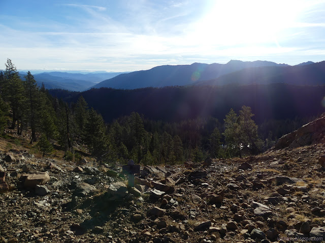
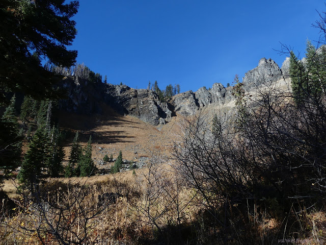
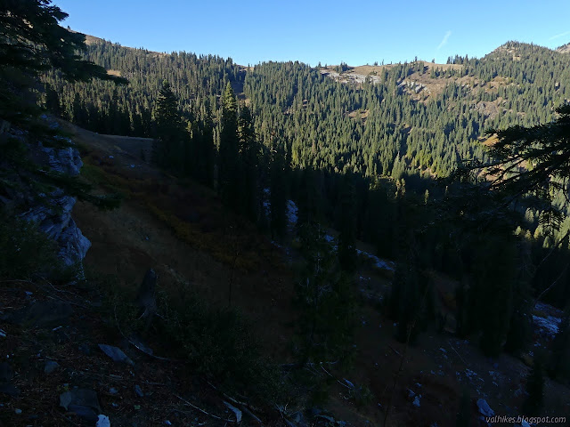
My first view of Paradise Lake was through the trunks of another section of forest that was completely devastated by a recent fire. The area is a patchwork of light and heavy burn areas. The trail drops down into nicer areas. It drops so much that it doubles the elevation needed to climb Kings Castle. I was trying not to be annoyed by that and the ridge line looks pretty rough in that area anyway.
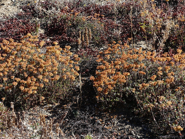
Although high up, there were little streams along the way. Someone got carried away with the hollow stems of one nearby drying plant and turned a stream into a fountain with them. I probably should have taken advantage since I left Bear Lake with a minimum amount of lake water. I didn't want to stop and arrived at Paradise Lake needing some before making the climb.

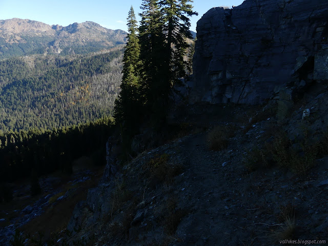
Paradise Lake marks the end of following the Kelsey NRT for now. It turns down Kelsey Creek to continue its journey to Fort Jones. I found a couple hunters setting up and waved to them. I got some water from the lake, explored a little while letting gravity work on the filtering, dumped the water for some inlet water, then dumped out most my gear behind a rock. No need to carry it up. The trail is fairly well established, but gets traffic from campers looking for their own space, so there are extra trails. There are cairns. It's rather hard to follow through a bit of rock fall along the way, but the interim goal of switchbacks up the dirt saddle is clear.


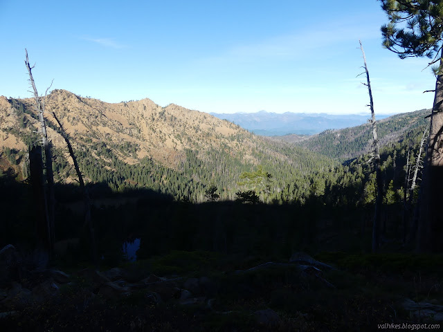
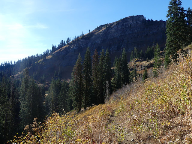
From the saddle, I turned toward the peak. I ended up on a bit of trail that curve around the side of the peak. Turning around, I could see it contouring around the peaks there too. There is an old built trail up there. (One that starts on the north end down by Bear Lake and I was following for the brief time I was "looking for the true source" of Bear Creek.) I climbed the hill up to the higher path people were using to get to the top. There are a couple paths through the rock bands to the top and I just took the first one.

And that carried me quite easily to the top. There is a rock bench and a benchmark at the top.
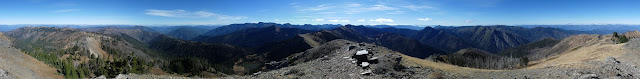

I heard loud voices below and looked down on 5 horses and riders. With the pair of hunters, they are the only people I saw during the whole trip. I finished celebrating being at the top with the last madeleine and random other nibbles and returned. Packed up and traveling along the PCT again, I was aiming at a pair of springs that would be a good place to start for a hike up Black Marble.

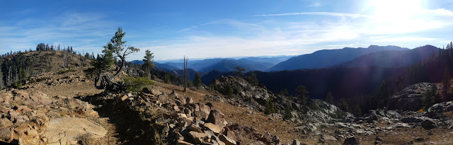
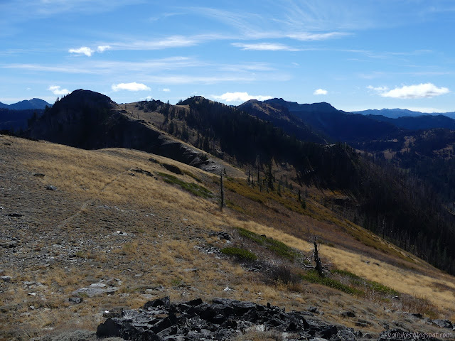
I encountered a few spots where the ground was already frozen for the season as I took the long, easy sloped trail in long bends around the peaks. The peak baggers like to go from Kings Castle to Black Marble along the top. It's quite easy right up until Black Marble, which is a class 3 climb. That's when you'll have stretches where you have to continuously use the hands to go up, but a fall shouldn't be fatal. Ignoring a few times I've accidentally scrambled up that sort of thing, it really isn't something I can safely do alone.
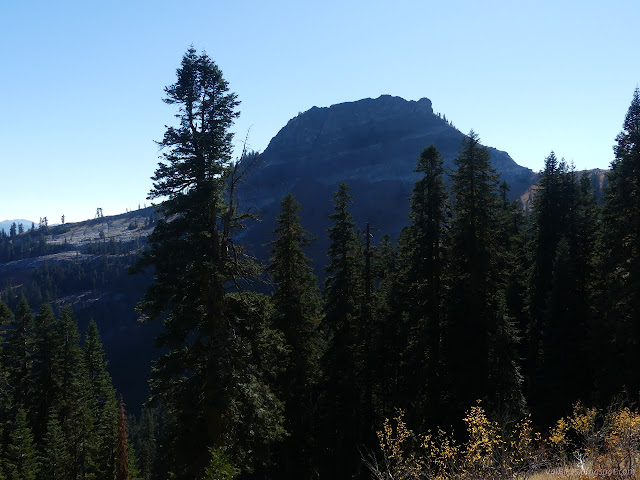

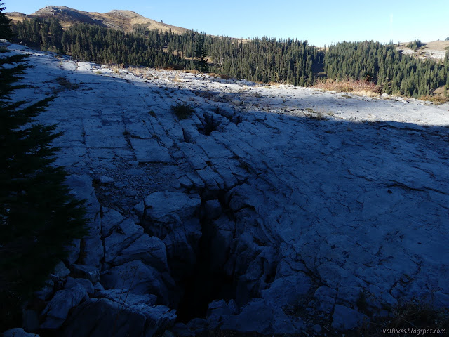
Things got quite interesting when I got up around the foot of Marble Mountain. One web site I saw pointed out it's not really marble, it's just chalk. It is cracked and eroded and there are sink holes everywhere. Maybe chalk is cooler than "just".
I got to the springs. Only the first was running, but it was running well right across the trail. There wasn't any sign of a campsite. I walked a little past the springs and there was the faintest suggestion of a trail. I was sort of hoping for a trail due to one report saying they'd found one down off the top to a depression. That person continued around and dropped down to the Marble Gap Trail, leaving the trail. The depression is very clear on the map, so I was sure I could meet up with the trail eventually. I also felt this could be a sensible spot for that trail to pass. I started climbing, looking for a usable flat spot rather than a trail. I found it, just above the 8 foot rocked arrow pointing the other direction.
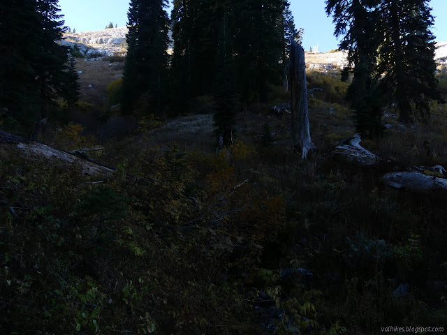
I dropped my gear and headed back down to actually get some of that pretty water. I tried going across, but ended up going all the way to the trail to be able to reach it. I could hear it higher up, but it never actually was there when I got there. When I got back, I looked a little higher found a better spot. Both are just flats held by trees on the slope. I suspected that if I'd just trudged up another 100 feet vertical, I'd find something better, but it always looks like that. It was early for stopping, but I was done. I did think about going up the peak in the evening, but it would get dark and, more importantly, cold before I got down.

Getting in early just meant I'd gotten everything done just before dark. I finally realized that trying to get in by 6PM leaves very little leeway for error when the sun sets at 6:10PM. The cold soaked supper was still crunchy even though I gave it an extra hour. So it goes. I decided the next two stops should be Spirit Lake and Blue Granite Lake. (Planning was pretty much, "This is about 40 miles so that'll take 4 days and I want to climb a mountain, so I'll give it 5," and that wasn't even the same about 40 miles as I actually went for.) I read a bit, then off to dreamland.
Liked this? Interesting? Click the three bars at the top left for the menu to read more or subscribe!


Comments
No, it is limestone, partially metamorphosed into marble. With caverns. Really big ones. And holes that you wouldn't want to fall into.
The rock crowning Black Marble is a schist, so that put at least some of the white rock in contact with a lot of heat. Pigeon Roost is very distinctly granite, but that's a ways away.