Russ Park
Ferndale City Park
Russ Park was donated to the city of Ferndale in 1920, so should be marking its 100th this year. There's a little written about it in many places, but the best I see is by Michael Kauffmann who has made parts of his guidebook available online. My research prior to going was more along the lines of noting there is trail out there and I'll go and try it. I probably would have seen a little more trees of the forest, but that Sitka spruce next to the kiosk needed no introduction and made me very happy I had come to see a little city park.

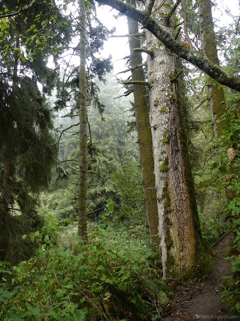
The park is kept as a "primitive wilderness and bird sanctuary", but the trails through it are very well maintained. My source for seeing that there were trails was a bit incomplete about them. It had a lollipop loop shown but there are three different trails to climb but the ridge to get to the loop at the top. I decided I would come back via the right hand (Village Trail (or Pacific View Trail, the map in the kiosk and the ones along the trail have different name opinions)) one. Maybe.

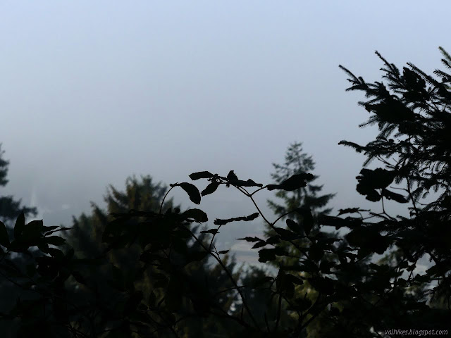
I started to climb via Lytel Ridge Trail (or Main Trail). It starts gradually, but then chugs through a bunch of little switchbacks determinedly upward. The grey air kept making me think of smoke. I took some deep breaths but could only detect water. Just ordinary fog, thick and damp.

The trail relents in the climb and meanders to a junction. I went straight, starting on the Daddy Bush Trail (or Maple Leaf Loop Trail). It drops through another valley.


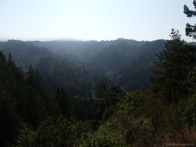
Signs warned that Skunk Cabbage Trail (or Eugene Street Trail) is unmaintained and not recommended. It looked well used but less kept. I started up again on Francis Creek Loop Trail (or still Maple Leaf Loop Trail) hitting some spots overlooking pretty expanses of forest just in the little canyon alternating with longer views.


I turned up the Bunker Hill Viewpoint (or Eagle Point Spur) to hit the high point. There is a bench in a saddle with a view. I tagged the high point just before it, then after enjoying the view tagged the higher point after. There is distinct trail to both and thin trail down the steep drop on the other side to keep on going.
I headed down off the spur and back to the junction. This part of the loop stays up on the ridge making a much easier walk. At the junction, I went straight on through again, coming to the edge of Zipporah's Pond. It's just mud now and much of that might be dry. It was probably dug out and the redwoods around it planted. It still makes a nice place to stop on a bench.

I went down Eucalyptus Trail (or Ferndale View Trail) as far as a viewpoint marked on the map. I had to stand up high on a log to get any sort of view which was almost completely socked in so wasn't there anyway. It has a round picnic table for folks to try to enjoy it anyway.
I decided to head back up to the dry pond and go down Village Trail after all. It starts off going up rather than down, then balances along a thin ridge. I think I found the Francis Creek Viewpoint, but it was missing its bench.


After the viewpoint, the trail turns off the ridge and drops, often steeply, along little wiggles.


There's various trails that reach down to the neighborhood below and I turned to get back to the parking area, eventually following the Bluff Street Trail (they agree on this one) back.


I made it back to the big spruce beside the kiosk and finished. The park really is a big delight in a small package. The trails are tough for their length.
©2020 Valerie Norton
Written 8 Oct 2020
Liked this? Interesting? Click the three bars at the top left for the menu to read more or subscribe!


Comments