Kelsey Range: Red Hill, Willis Hole, and Harrington Mountain
Klamath National Forest
Six Rivers National Forest
DAY 1 | DAY 2 | DAY 3
Red line for day 2. Click for map.
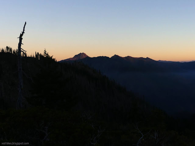
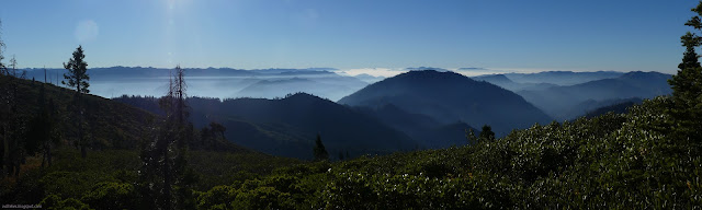
I had a beautiful dawn, noticing that the smoke that was high above the mountain in the evening had dropped a long way below by morning. Then I noticed that another Platypus water bag can no longer be trusted. The first ones went 10-12 years, but that one has a 2015 date on the side. Admittedly it probably has more miles on it than those first ones. All my gear is dying! My Neoair mat shows bright yellow instead of shadowed when held to the light because all the metallization has crumbled. It barely handles the fall ground temperatures. The second water bag was fine, so nothing to worry about yet.
I ate in the growing light of a mild but chilly morning, then pondered my water. I was expecting a hot day and, if the map wasn't lying to me, no water until Harrington Lake. I also had a track that suggested the map was lying to me and I would actually pass by Willis Hole and the permanent stream pouring from it along with a couple seasonal streams. Since I only wanted to go to Harrington Mountain, I was hopeful the second was the truth. And if it wasn't, maybe I could handle it with the water I had? That seemed a bit of a stretch, which meant I had too much for the day. My precious water! I kept it all anyway.

I got climbing, passing a desiccated frog. See, water is important. The climb quickly vanished behind me.
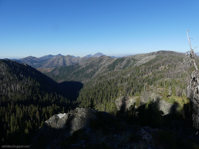
I turned to continue west along the South Kelsey Trail. There was soon a vantage point to look and see there was no point in trying to go to the high pond. Bear Lake and Little Bear Lake were still waiting for the sun, but it was coming on quickly. Fire drama was on display both north and south as I could pick out areas currently burning. It kept going throughout the day.


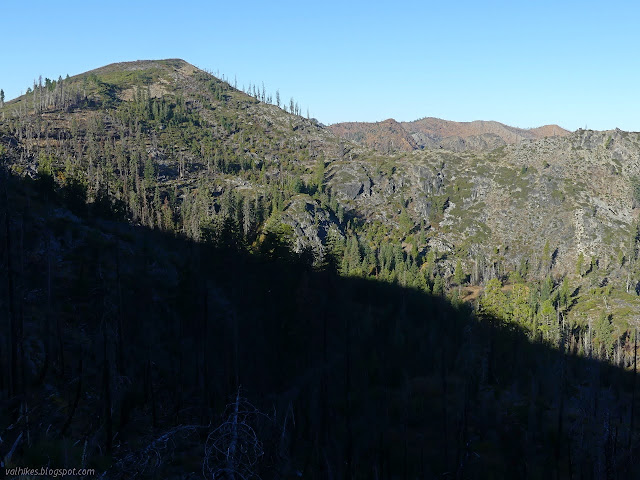
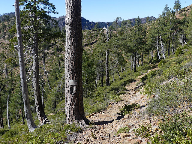
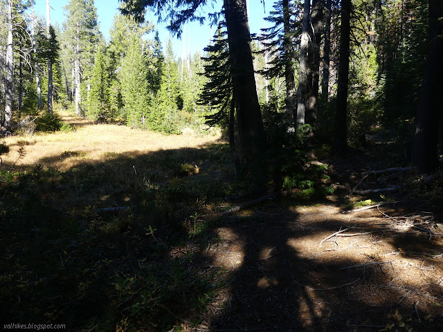
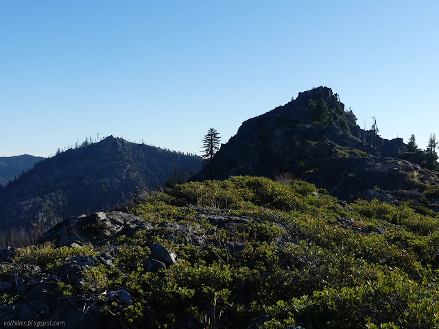
Trail leaves the ridge to drop and curve around the next peak. It has some quite steep and rocky sides that the trail navigates. I noted a bear track heading down the hill and the trail following had yerba santa growing out of it. It's bear who keeps the tread nice. Coming around, Red Hill greeted me with a curious feature. Whether natural or mine remains, it is now a large flat getting used as a camp. It looks a little scary to me as it is the time of freeze/thaw cycles and rockfall (including one in earshot just three days before). The largest of the rocks that have come down rest out in the middle of the flat, well past the camp area marked by a fire ring even though there's virtually nothing in the area to burn.


I noticed there's supposed to be a benchmark near the trail as the rocks, igneous I think, turned distinctly grey. I took a moment to look for it and that's all it took to find the golden disk from 1915. It is only 20 feet lower than the top of Red Hill and the nearby bump is actually higher.

Past the benchmark, the trail finally enters Siskiyou Wilderness properly. There's no nice, big wilderness sign for this one, just a faded and scorched bit of metal nailed to a tree. It was blazed once, too. I wasn't noticing the blazes, but then I tend not to when the trail is easy to find.
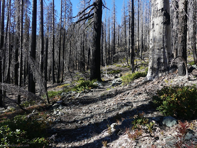
Then I hit some real and recent burn and the trail wasn't so easy to find anymore. Not consistently. Mostly, but there could have been a navigational cairn or two.
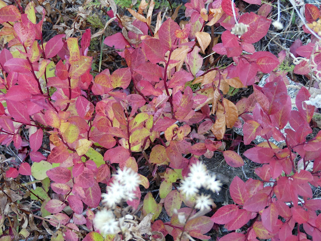
Then I got to the bit where there may or may not be water. The trail started dropping to avoid an area of unstable mountain. It wasn't quite making it and got into some steep creek bed before coming to flat. I actually went a little further down (but the correction is in now) than the track indicated and a reliable creek started further up than the map indicated. First there were puddles and then there was a seep with onions. Mmm, onions. I was so taken by finding onions that I almost missed the pitcher plants. I wouldn't have missed them entirely because after the seep was a wide bit of nice flowing water with more. They're much bigger than I thought.


Then I climbed up again to pass the seasonal streams. The location of a spring could be seen, but all was dry. Green grass would indicate it was still moister than the surroundings.

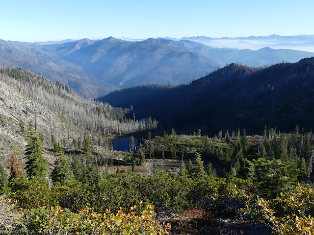
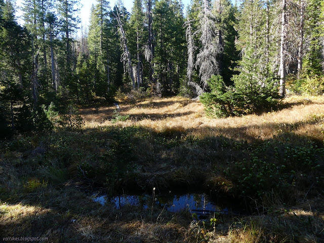
There was more particularly bad burn before coming to the junction with West Fork Clear Creek Trail among tiny, crowded trees. The junction is obvious although only marked by a cairn. Coming to the junction means meeting the route of the Bigfoot Trail. Willis Hole is down a short hill. I found a meadow covered in more pitcher plants dotted with pools of stagnant water. I also found a camp and ditched most my gear.

I took off for the last little bit to Harrington Mountain, checking for the stream along the way. It was very dry. Guess it is seasonal after all.
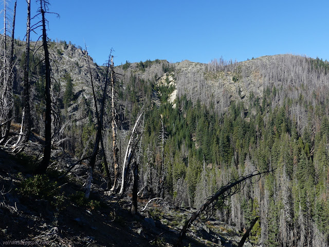
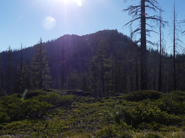
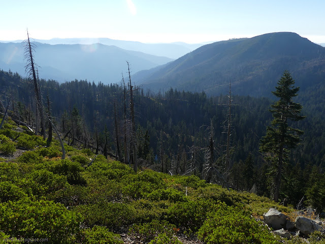
There was another rather bad section of burn once out near the ridge again. It was bad enough that a few times I would have dearly liked an extra hint, but there were no cairns. Higher on the ridge, the view becomes quite distracting where a bit of Smith River's Prescott Fork makes a rush downward. Luckily, the climbing trail is hard to miss on the way up the Harrington Mountain.


I hit the top, completing the South Kelsey Trail. Well, except the bit I skipped to go up Bear Peak, but I would get that on the way back. I went a little bit further to get a look at Harrington Lake, then rested and snacked and looked.

Then I turned around and went right back down. I have appreciated navigational cairns greatly in a few areas, but almost never actually build one. I built a couple on my way back. Once back, I did some grumbling about how the camp was structured before noticing a line of rocks a little further up in the trees. I set up in the flat someone had built at a much more reasonable distance from the meadow. It was noticeably warmer up there away from the water, which was quite nice as I settled into my cold supper.
Continue to the next day ⇒
©2020 Valerie Norton
Written 18 Nov 2020
Liked this? Interesting? Click the three bars at the top left for the menu to read more or subscribe!


Comments