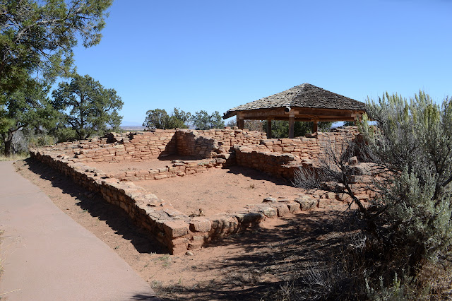
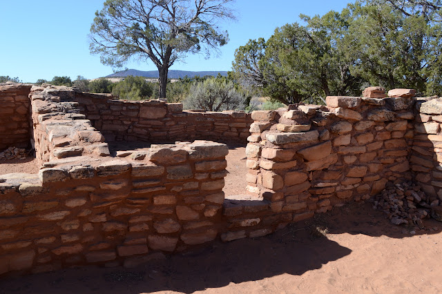
Mule Canyon roadside ruin
Bears Ears National Monument
Click for map.
The Mule Canyon roadside ruin is not actually within the canyon, but on the flat land above. It is another of these developed areas with bathrooms and interpretive signs that are free and will continue to be free. The ruin has been excavated and studied and stabilized. Two signs explain about "Anasazi" history in general and these ruins in particular. (One usually refers to Ancestral Puebloans now as Anasazi is a Navajo (or Diné) word referring to someone else and as with most such words has a connotation of alien/other/not-human to it. My professor for a survey course of Native American religions went with the translation "enemy's ancestors". I had always thought that it was a lovely word without context.) To get there, one just proceeds down the paved path. To get the information in the reasonable order, circle to the right. Me, I circle to the left because my Indian friends (you know, from India) said it is bad luck to circle a temple counter-clockwise and there is usually a kiva as part of these ruins and I don't know any other reason to go one way or the other.


The signs tell about diet and farming, so extend much further than the buildings themselves in their information content. But once I am done with them, I can continue on to the ranger station to find the ranger doesn't think I really need to use her phone to call the folks who might have my lens.
©2019 Valerie Norton
Written 3 Nov 2019
Liked this? Interesting? Click the three bars at the top left for the menu to read more or subscribe!


Comments