Mule Canyon, South Fork
Bears Ears National Monument
Click for map.
Another suggestion from the "101 Ways to Experience San Juan County, Utah" brochure is Mule Canyon. They settle for slightly obscure directions instead of outright wrong ones which helps explain why I had a chat earlier with a couple who were trying to find it in Comb Wash. Well, they were trying to find a specific ruin within it, one pictured on the free map BLM hands out for the area. "That's it!" they shouted and I found myself gazing at an unremarkable ruin. (We figured out that they needed to go west of Comb Wash like it said, not search the west side of Comb Wash. There's a sign when you get there and everything, which ain't that common around here. There's no sign for the roads in Comb Wash. You just turn and hope you're there.) Clearly I have no judgment on such things because that unremarkable ruin is apparently the reason why I should totally visit Mule Canyon. It adds that if I have more time, I might want to continue on to another or go the other way for pictographs. First, I have to pay. I decided to spend $5 on a week of hiking and find more places to go around Cedar Mesa, the pay area, instead of $2 for the day. (This hiking fee is not covered by an America the Beautiful pass and will roughly double at the start of 2020.) Then down the hill and park. There's plenty of others already parked along the road above the kiosk and register below.

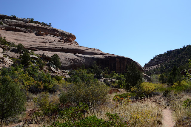
I'm not seeing much trail going down the canyon, but there is plenty going up past an information kiosk and register. It takes a few moments to find where it goes down beside some signs. They say things like "wilderness study area" and "dogs on leash" and "no stock" and especially "fee site". So I pass them and drop into the short walled, sculpted canyon. Trail stays high from the creek a little while, but eventually gives up and just follows along in it. It's dry right now anyway. Well, mostly dry.


I weave around a boulder separated from the canyon wall and am surprised to see a ruin nestled within it. Only a corner remains now, but whoever placed it there was certainly bucking the stereotype.

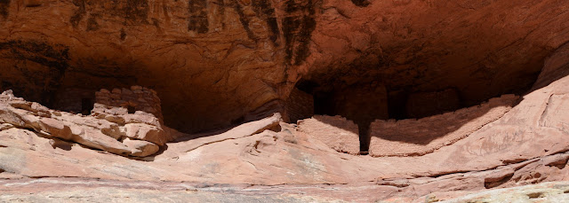
And then just up a little rock hill is the ruin in question with a whole bunch of people waiting for the late morning light that is supposed to reflect just so and make it look like it is on fire. Or something. I listen to this for a little bit and somehow only have one word to say, "Photoshop." Someone saw a little bit of something once and they took a photo and worked it up until no one could miss it. Or maybe I just have no poetry in my heart because here is a small crowd all hoping to witness this grand lighting effect on this wonderful ruin. It is a well preserved row or rooms. Then we get on to if they actually lived in these tiny spaces. I walk up to one and look in past the little sign reminding me not to enter the interior. "It's bigger than my trailer," I say and note the soot covered ceiling. All but one is black. They definitely lived in these. But you don't exactly live in such a space. You do most your living in the great outdoors. Inside is just an emergency shelter and sleeping area. Who wants to be inside?

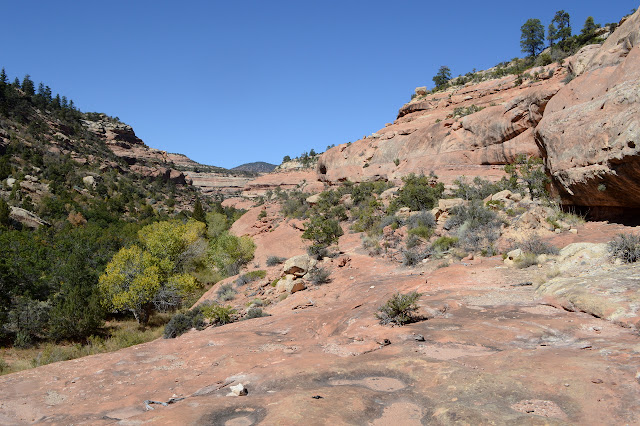
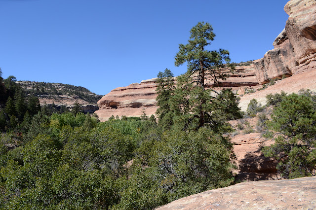
Sure enough, as I continue on, there are more ruins to see. I do suspect that I am not giving the south side of the canyon its due attention. I keep peering into shadows and asking if that's a wall. The bits of civilization shouldn't be the only reason I am here. There's too much nature to ignore. With the canyon walls getting high, I can't pass up using the high "sidewalks" of slickrock for a different view, but I do keep having to find a way down to the next layer. It is still going up a lot faster than bottom.

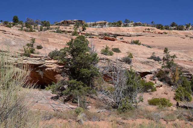
I walk a bit further and find my favorite ruin of the day. Perhaps deep down I really want to have some upscale living. This one is very upscale. Well, very up. It has a huge swimming hole at the bottom still at least half full of water.A private pool since I somehow missed it while walking along the creek, but could see it from the rocks above. I delight in how square it is within its round hole, too. Mostly, I love the lighter stone wall in front. It has a thin slit to let the residents through to the three tall boxes behind.

I can't deny that the trail is getting harder to push through, although some of that might be that it wanders a bit in the wider sections of the canyon. The plants seem to me to be ones that like more water than the ones I started among, and those also tend to make it harder to pass. I settle down for a moment of lunching and then a moment of realization that I never clipped the larger telephoto back into the pocket. I grab for it to find it missing. Where? Probably Upper Butler somewhere. Oh, but it could be on Posey. Or even here somewhere. Upper Butler is feeling the most likely. Whenever I try to focus on something else, the dread of having lost it comes up again. The price on that thing new is $250. Ugh. I hate expensive mistakes. And I know that's not expensive for a lens, but it's a big expense for me. I push a little further, but it's all pulling me to turn back.


I did manage to focus enough to find the pool on the way down and stop by some overhangs that seem to have soot in the top even if they have no other evidence of habitation now.


I stop by the register to find a note "found Nikon lens" half the page up. There is a phone number. Maybe I don't have to backtrack. The folks waiting for the light did include a couple women with a nicer Nikon and a much nicer Nikon, so there could have been a rash of dropping lenses. Now if only I could make a call.
As stated, there were ruins along the way.


©2019 Valerie Norton
Written 3 Nov 2019
Liked this? Interesting? Click the three bars at the top left for the menu to read more or subscribe!


Comments