Tooth Benchmark
Bears Ears National Monument
Click for map.
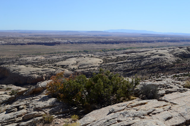
Time for some peakbagging, or as near as can be had along Comb Ridge. About halfway along where it ripples, there is a benchmark. The "peak" has only very nearly 400 feet of prominence and a few miles north, the ridge starts hitting some higher points. But it is the high point for a while and those points don't have benchmarks. To get there, I just picked a canyon and parked near the bottom of it.

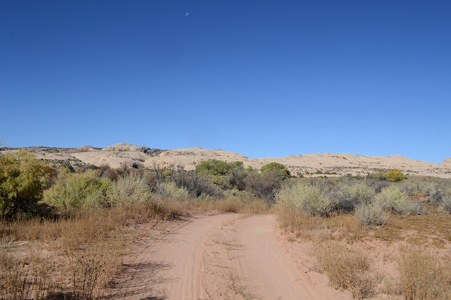

The road drops into the wash and trail climbs back out the other side. It's a well used trail. It has its own destination and then the canyon presents a difficult obstacle.
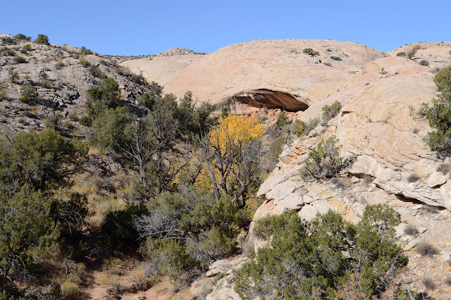


With the thought of continuing up to the high point, I've been watching the ramps along the sides and have already picked one to head up. It is tempting to go ahead and start up an earlier one, but I know that won't work in the long run. A little further will make it a lot easier. Otherwise, I have to make my way between layers on something approaching vertical.


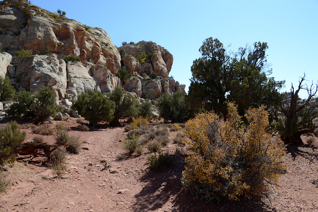
The basin above is somewhat broken up and a best route is not clear. Hey, I don't need any best route. Just one that isn't destructive to the life trying to live here and gets toward the benchmark. That isn't all that hard. There is lots of rock to wander.


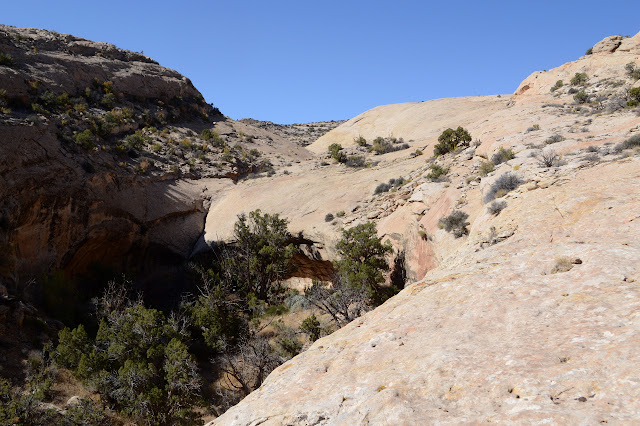
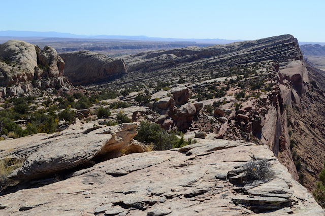
Eventually, it is just a friction climb up the last bit of hill to the top and the benchmark.


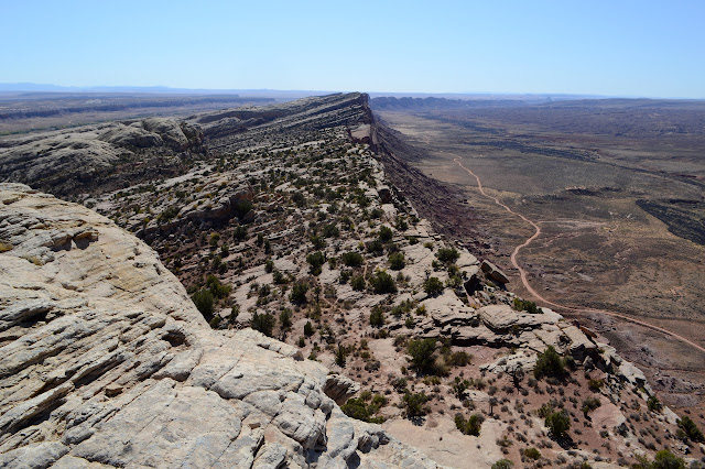
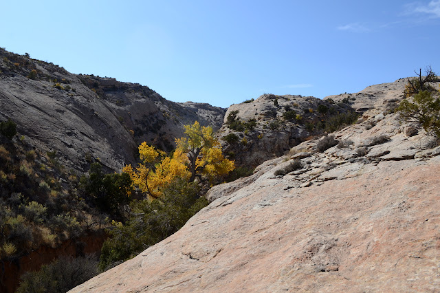
The peak with the benchmark comes nearly to the edge and that sheer drop on the far side. It is quite a unique and incredible view. I can even almost see the monuments of the Valley of the Gods.


Destination achieved, I could go back the way I came or take a gamble on returning down a different canyon. I think gamble. The way could really be blocked, but there does seem to often be some way around. I pick one to the south and go for it.


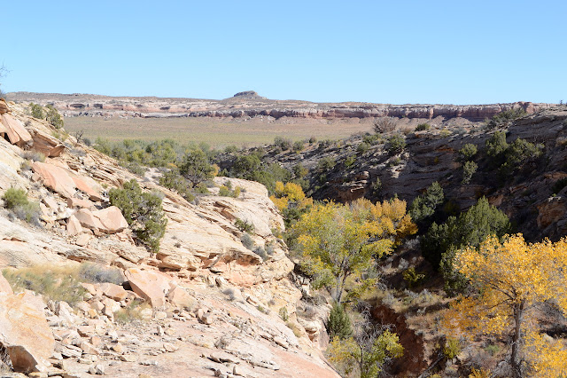
The canyon is one of the narrowest slits in the area, but poses no problems. There even are a few footprints in the top and more as I go down turning into another trail. That makes it seem likely I'll be able to continue to the bottom. I almost get there before deciding to play up one side and then the other.

Getting down the friction climb does not work quite so well as up. My shoes are just not sticking. I stick to lesser slopes going up the second time.


I sort of went up the canyon that was on the right, so head over to go down the canyon on the left. Again, there are a few footprints developing into a trail so that I'm not worried much about being able to get down that way. The top is another particularly large basin ready to catch quite a bit of water should any fall.


Where the canyon comes out, I figure trails will cross back to a parking area near my car, but they head south to a parking area a mile from my car. Which annoys me ever so slightly. I keep wondering if I should take one of the old cow paths north instead of sticking to the well trod trail, but they seem to contain soils trying to live again. So along I go, the long way. At least I haven't run out of water again. It will mean there won't be good light to do one more thing that's supposed to be short.

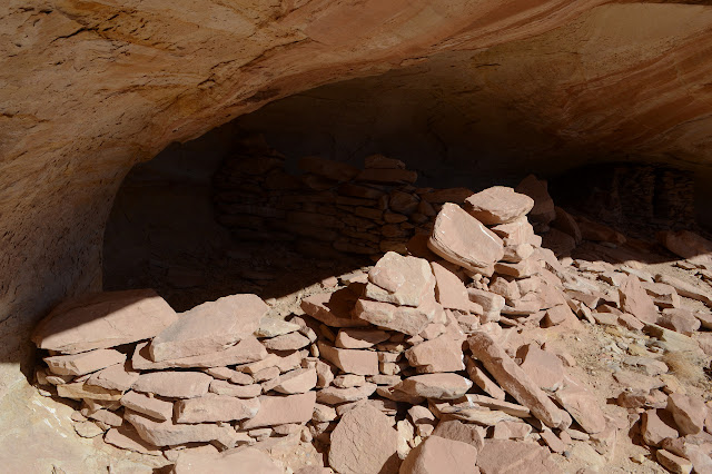
Even the peakbagging includes sites with ruins. Somewhere along the way or along the longer exploration afterward were:

©2019 Valerie Norton
Written 21 Nov 2019
Liked this? Interesting? Click the three bars at the top left for the menu to read more or subscribe!


Comments