Above Mule Canyon
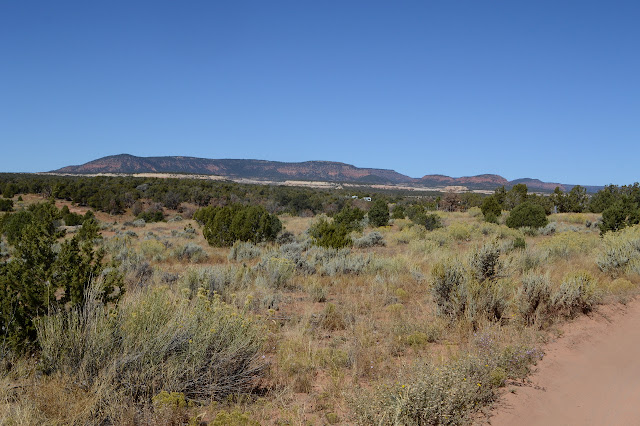
Utah School Trust Lands
Bears Ears National Monument
Click for map.
I decided to explore three roads to nowhere that leave the highway at gates and get to spots out above Mule Canyon and its larger tributaries. They're all rough for my little car. The first, just slightly east of the Mule Canyon Roadside Ruin, is part of the School Trust Lands rather than the monument. Rules are pretty much the same with motorized travel allowed on existing roads and camping allowed and so much as disturbing cultural artifacts illegal.

It isn't that far in that they feel the road isn't good enough for low clearance or longer vehicles. There is a big lot next to yet another drill hole. (This one has no writing on the pipe.) There are more signs. The road is quite easy on foot, although apparently a Subaru can also do it. One is coming up, but I have the edge of the canyon to myself when I get there.


Then back again. It's nice and short.
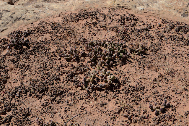
The second road is the longest and nothing marks it. It has a tank early on and a few extra roads and more cholla than I've been seeing around. It's pencil cholla and I'm not really ready to be seeing it again.


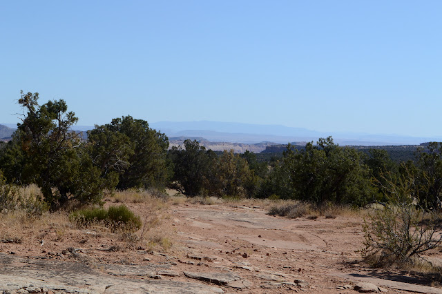
I initially follow the ridge to a shallow bit of canyon that is not where it is supposed to get to. There is a cairn marking a spot to enter the canyon, which is a tempting offer. There's usually some reason someone thought they should stack one. But no, not today. Just three short things today. Turning back, the reason I and a lot of motor vehicles missed the road is it went across a rock bottomed wash. Once there, I can see a lot of scrape marks on it and more road beyond that is starting to get light. Some people have figured it out, though more go the other way.

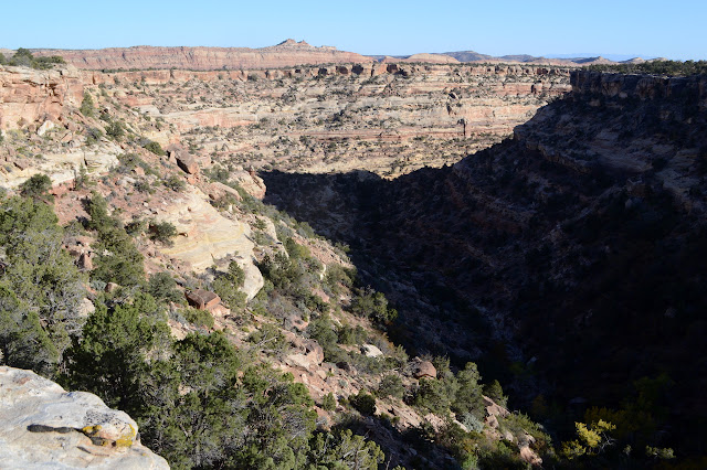
The road doesn't stop where it shows on the map. It actually goes down into the canyon although a wash out keeps anyone from trying today, even with an ATV. From there, it looks like it goes up the other side. There is a half barrel there now, but then I lose the road. I expect it was a place to get water. There is water now in the bottom of the canyon even with the unusually dry summer.


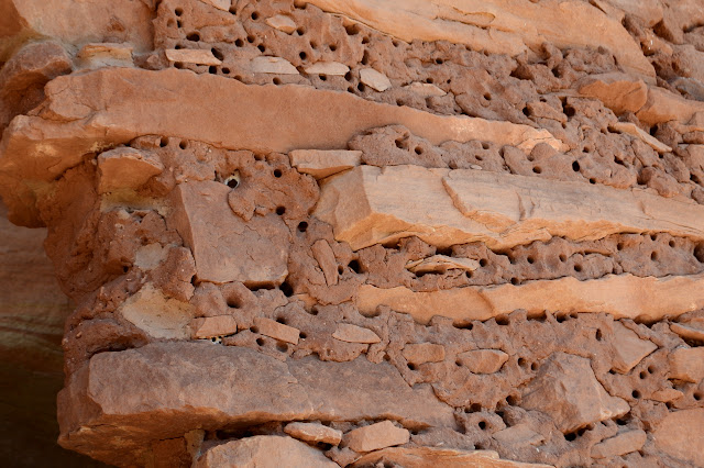
The water is interesting, so I go ahead and explore a little further down the canyon. I think I see ruins everywhere. They're probably just around the corner from where I stopped.


One last road is another short one. This also has a fair amount of extra roads and is the roughest yet.


I feel like I've built up a repertoire of tools for some future Mule Canyon extravaganza hike. Long in the future, because I'm moving to the other end of Butler Wash soon.
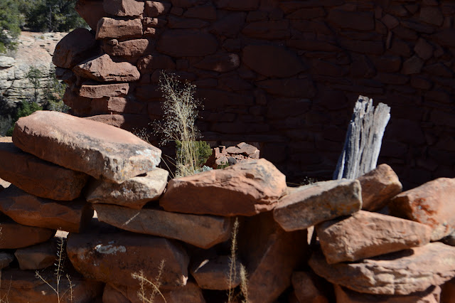
I did find ruins along the way.


©2019 Valerie Norton
Written 20 Nov 2019
Liked this? Interesting? Click the three bars at the top left for the menu to read more or subscribe!


Comments