Starvation Knoll
Bears Ears National Monument
Click for map.
I stopped by the ranger station to see if I could get wifi or otherwise make a call from there. Sure, if I've got Verizon. This is the second time I've found a station to have a Verizon repeater and wonder what they do to deserve such favoritism. She suggested that some people get signal on Starvation Knoll. I won't, but I may as well give it a try as it is the high point in the area. This is another developed site that will continue to be free although there are no bathrooms. The trail up to the top of the low hill is dotted with interpretive signs about the Mormons building road to come and populate this area. There is some mention of how there were already people here, so no myth of the empty land is going on, but they still felt they needed to spread here.


Since the particular part of road building represented here was when the lost and starving scouts climbed this knoll on Christmas day and finally found the Blue Mountains (Abajo, that is) and figured out where they were, there is a certain amount of geography getting pointed out on the signs. I finally get to really see Comb Ridge, which is a particularly distinct piece of land, but mostly because it is pointed out as a significant challenge to get a road past.

It doesn't take much to get to the top and determine there is no signal. Actually, it says emergency calls only, but apparently this isn't that.


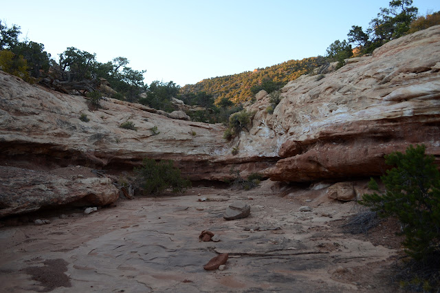
I still have time in the day, so decide to make a little excursion out onto the mesa. First a little way along the road, then down one of the creeks. Well, the washes.

The cows have been here before me. Why are there cows out here, again? I saw one grazing beside the highway as I drove from the roadside ruins.

When the reasonable downhill runs out, I take the sidewalks instead. They are a little slanted and require some excursions once in a while to avoid the crusts. Sometimes there are footsteps in the dirt. They do say it can take 20 to 250 years for the biological soils to erase a footprint, but most of these are in loose dirt.


Another way looks like it will be easier to find places to step. There were a couple challenges on the way. I take it and it turns out to be a big mistake. It is an awful, horrible, no good route. Why would I forsake the sidewalks and wide wash? Why?!

I find my way into a new, wide wash and it is better except that there are still some big steps up. I have to back off once and take a very well trod deer trail. Or maybe the cows have been here too.
A pair of aluminum cans from very different eras alert me that I'm getting close to the road. There is more and more trash in the last 200 feet or so before I make that one last step to the fresh pavement and back to the knoll.

©2019 Valerie Norton
Written 3 Nov 2019
Liked this? Interesting? Click the three bars at the top left for the menu to read more or subscribe!


Comments