West Elk: Castle Pass and Sheep Lake
Gunnison National Forest
DAY 1 | DAY 2 | DAY 3 | DAY 4 | DAY 5 | DAY 6(green line, map link)
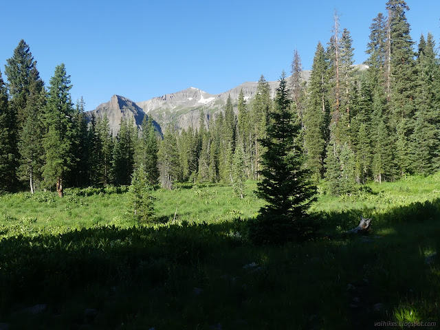
I was wondering if this loop might be a little front loaded with the good stuff as I started toward the tree covered Castle Pass that represents the highest point for the second half of the trip. I expected it to be easier, although the state of the Castle Pass Trail was unique in that it not only showed recent trail work, but more trees already down on it than had been removed. It got better as I got higher.

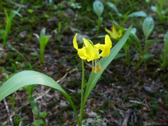
I found a bit more water than advertised on the map along the trail. There was another, much smaller, camp by a collection of glacier lilies and a trickle of water. It still wasn't enough to get away from the mosquitoes.

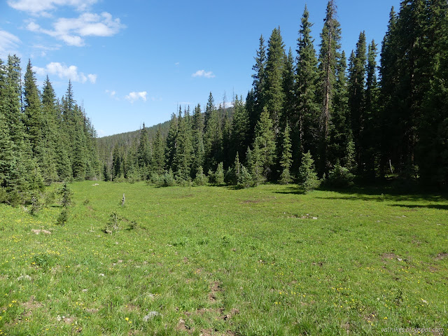
The top of the pass was like a strait corridor cut through the trees. There were no views, but there was a sign to make sure I didn't get turned around. North Castle Creek back the way I'd come, Sheep Lake or Beckwith Pass if going onward. The corridor widened into a long meadow and the trail suddenly turned into the trees. I felt lucky to have noticed it, since the trail was so dim in the meadow that one could easily just continue along it.

The trail passes near a couple ponds. One had more camp sites beside it. I had to visit it for the blooming lily pads floating on the water.


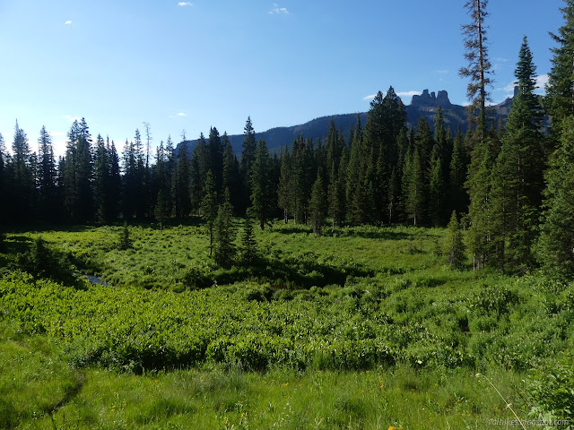
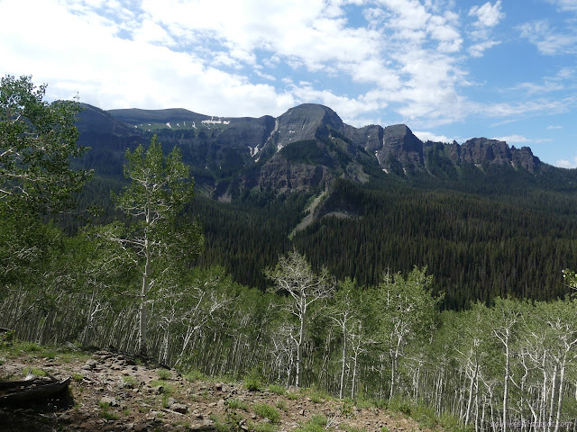
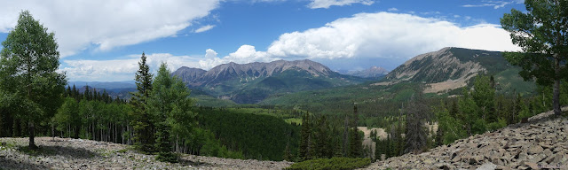
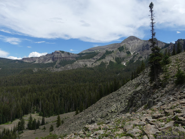
Down I went along the ridge with aspens to my left and pines to my right. There was water, too, there to the right. I could hear it rushing downward much faster. I could see suggestions of impressive ridges beyond, but a real view had to wait.

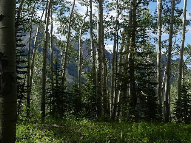
It was the aspens that yielded their secrets first. The trail turns and cuts its switchbacking way down through the steep dirt hillside where perhaps an old fire opened up a much larger view.

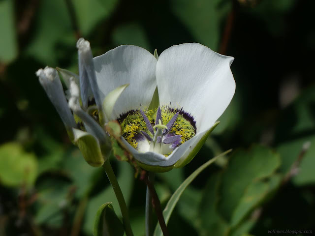
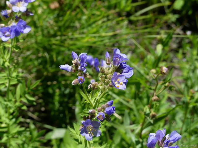
The trail put me down next to a series of ponds to wander past in the sun. The wildflowers changed with the wetter environment. The blue bells looked a little different from the ones I'd been seeing.

I came to a big water crossing, which was unexpected given how near it was to its source. It's another wet food crossing unless you're feeling very confident on logs. I got across, then grabbed some water for the rest of the day and sat in the roar for some lunch.

The trail multiplied through a meadow, but I must have picked the right one (at random) because I got to the signs for the junction. Decision time. My original plan was to head over to Little Robinson Creek and check out the cow camp (where the map shows two buildings), then pop over to Soap Creek. However, Sheep Lake was clearly a destination as signs had been pointing the way to it for a while. It would be about as long either way. I decided to go to the destination. Trail crew had been that way recently too, making a nice, clear path.

The trail is illustrated as going right through the middle of the lake and that's what it did. Luckily, it was a dry lake. Unluckily, it goes across it in one direction, then, when it is most invisible, suddenly decides it'll actually go off that other way. I never saw why it does not simply go around the lake bed in the appropriate direction in the first place, but the hikers have kept to this wild route from what I can see. Then it's more climbing.

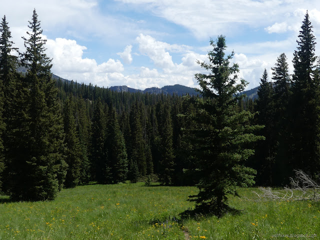
I popped over into some meadows with the map promising only slight rolling hills to go to the lake.

I found mystery junctions in the meadow. OpenStreetMap was no help in this area. It seemed to be simply copied from the Forest Service map, which probably meand it matched USGS maps. It wouldn't be something I'd want. Continuing on, the meadows turned into some rather beetle killed forest with an expected junction marked only by a post, a tree clobbered sign with a mystery message, and finally the lake.


While I had in the back of my mind a desire for a shorter day, I hadn't actually meant to stay at Sheep Lake. I was headed for the junction of Soap Creek and Soap Basin about two miles further, but I got to talking with the couple already settled in to camp there a bit too long. It was pleasant enough except for the mosquitoes. They offered me the DEET they'd nearly forgotten and I had to admit I'd chosen not to bring any repellent because the bugs weren't bad down Soap Creek some 20+ miles. I also went searching for the Sheep Lake Trail 9551 (as opposed to the Sheep Lake Trail 8848 that I'd come up) which mysteriously comes to the lake without actually connecting with the Cutoff Trail 8855, which should be the one marked by a post and no sign. I found a bit of tread that wound its way over to the suspected cutoff, but didn't have any sign of work until a nearly rotted log a short way from where it intersects. Since I would expect them both to go off together and split, this seemed almost reasonable.
And then I set up camp in a large site up the hill from the lake which looked quite nice with at least three big tent spots to choose from. This is unfortunate because I did find the rest of the sign the next morning and it did say "no campfires" as I expected. It added "no camping". There's actually a campable spot just outside the closer area on the cutoff. There would be mounds of camping in the meadows on the way. There's a well appointed site within a mile on the cutoff which has a lovely creek which looks much nicer than the outflow of Sheep Lake. (People still haven't figured out you need to take the water away from the lake or creek when you wash your dishes. You especially need to take it away if you're going to use soap. Yes, even "biodegradable" soap. It says it right on the bottle of Camp Suds, if you can find it among all the other stuff it says.) I rather suspect that would have been a more pleasant spot to stay, actually.
Continue on to the next day ⇒
*photo album*
©2022 Valerie Norton
Written 13 Aug 2022
Liked this? Interesting? Click the three bars at the top left for the menu to read more or subscribe!


Comments