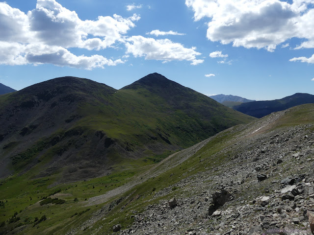
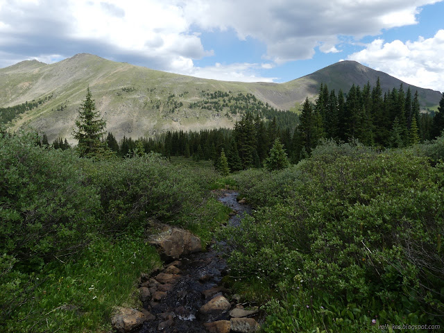
Turner Peak and South Texas above treeline
Gunnison National Forest
San Isabel National Forest
(map link)
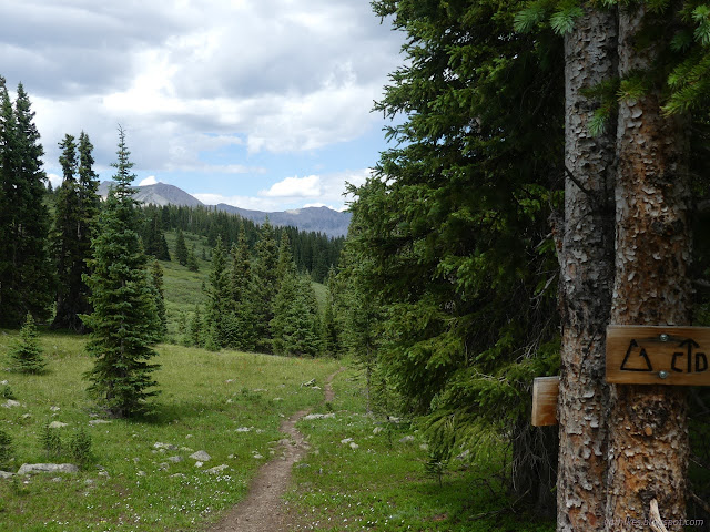
There seemed to be an astonishing number of backpackers coming south through Cottonwood Pass on the Continental Divide Trail given that it is still way too early for the southbounders, which isn't even the popular direction. When I got across the road, I found a post with a second crest and everything was explained. Of course! In this area, it is also the Colorado Trail. They're all Durango-bound, which is the popular direction, and it'll be time for them for a while.


I didn't stay on the trail long. When I got to that first ridge, after enjoying the view, I took a use trail up to the first peak. I wandered over to my left and tagged the peak just because, then looked across it's long top. The other side looked lower to me, but Peakbagger says I should have tagged the other side for the high point. It has a spot elevation there on the map, anyway.

I probably also should have continued on to the other end of the peak just to get an easier slope to walk down. Instead, I made a careful way down the side, losing just about every foot of elevation I'd just climbed.

From the saddle, there's a little bit of a trail through a rocky area. My plan was to gain the lower peak and walk the ridge top, but the game trails along the side were so good, I ended up following those instead. Meanwhile, the clouds overhead were already playing their games. Part of the reason I kept to the hill was that it looked like I better hurry and it felt faster.
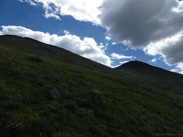

I managed angling up to the saddle between the shoulder and the peak quite well, then headed up along the ridge. It gets to be a rock pile, but I was able to just hop from one to the next the whole way up as the views got better and the area broke out once more in sunshine.


If it was going to be sunny, I'd enjoy being high up for a while.


The clouds started moving in again and I started moving down. I had to get out my hands for a little minor climbing for the way down even though up was fine. I liked the paths along the slope so much, that I kept to them for the return to the saddle below as well.


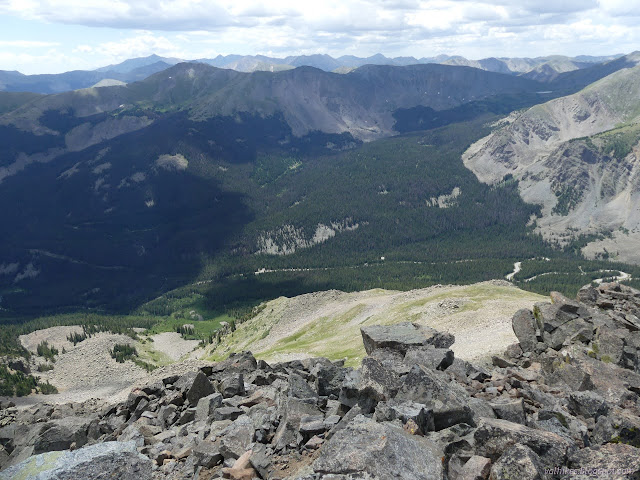
From the saddle, I decided to contour around the north side of the minor peak. I kept above the willows and below the rocks and found what little streams there were easy to cross. There would have been no muck filled meadows if I had kept to this strategy all the way around to the trail.


I didn't stick to that high and dry enough path, though. I got to thinking that if the afternoon rain was going to hold off, I might go ahead and follow the South Texas Trail (still hosting the CDT and CT) on down to, oh, that lake just below tree line there on the map. So I cut across the last little bit and ended up treading in some muck here and there. Trying to keep to the high land that holds in the shallow puddles filled with willows and elephant heads and monk's hood just did not work at all. I got to the trail with very soaked shoes.


But since I was expecting a short hike, I had put on my light barefoot shoes. The Mesa Trail do seem to dry out in a few hours, given a thin enough pair of also wet socks. On the other hand, my feet get tired in them after about 10 miles.


I met all sorts of CT hikers. Mostly Durango-bound, but a few were Denver-bound. Some were already set up for camp by 3PM. It seemed very early, but perhaps they looked at those thinning trees and those thickening clouds and wanted none of it. It can be nice and dry inside the tent.
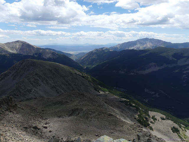
The trees got thicker. A short way from where they got to feeling enclosing, I found the unnamed lake I was heading for. It was a bit dirty looking on one side, but nice enough to look at at the right angle. It had campers settling in, too. One hiker told me they were brave for facing down all those mosquitoes. He wanted to camp out high and dry away from the water.


I was "there" and so I turned around and headed back toward the pass and the car and, oh dear, I needed to cook beans that night. Supper would be quite late. It was good motivation for climbing a little faster than I might have otherwise.


A big, grey cloud moved in and it finally rained a little. It even threw slush balls at me. It wasn't much and it didn't last long, but it was repeated.


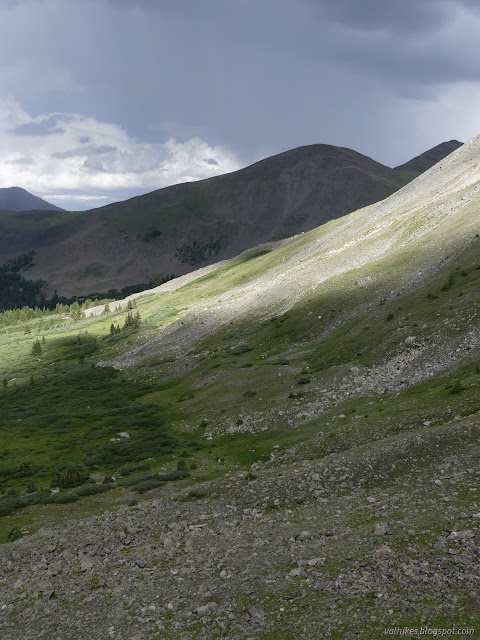
*photo album*
©2022 Valerie Norton
Written 25 Aug 2022
Liked this? Interesting? Click the three bars at the top left for the menu to read more or subscribe!


Comments