West Elk: Coal Mesa
Gunnison National Forest
DAY 1 | DAY 2 | DAY 3 | DAY 4 | DAY 5 | DAY 6(black line, map link)
What to do in the West Elk Wilderness? The right answer might be everything. I settled on Soap Creek as an entry point. There is a campground ($20ish a night to a concessionaire, not to the forest) and a corral area (open to dispersed camping, toilet) near the trailhead. Unfortunately, the split of the trail a mile up only allows for a nice day hike. To get in a backpacking loop, I'd have to go big and accept a return on a long 4x4 road. I picked a loop heading around some mountains and hitting some areas with "castles" in the names. I poked at it and found it to be about 60 miles, so decided I would be out 6 days without even figuring out where the camping might be. I'd neglected to get a weather report again, but had noticed the next three days generally being sunny-rainy-sunny while looking at other things. In went both the tent and little roof. Packing took me to 10AM and then I went ahead and got out the luggage scale and weighed it. Seemed to be 36 pounds, which sounded fine to me until I subtracted the ~9 pounds of food and ~1 pound of water and get a ridiculous amount left over for stuff. Never mind. I can do it and would just have to. I wasn't going to waste any more of my sunny day evaluating it rather than hiking. It really was a beautiful day as I got started on the Coal Mesa Trail.
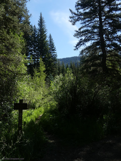
At one mile when I got to the Cow Creek crossing and then the Cow Creek Trail, I had reason to be happy I'd apparently selected the main trail. The junction was marked simply by a post. There wasn't even writing carved on the sides of it as I have sometimes seen. The trail itself was there, but faint. Then I climbed up and over a ridge to higher Coal Creek. There's supposed to be trail south along the creek, but I certainly didn't see it. There's also supposed to be a higher trail breaking off shortly after. I saw nothing of it either. There was trail along the ridge in both directions, but these junctions are supposedly by the creek.

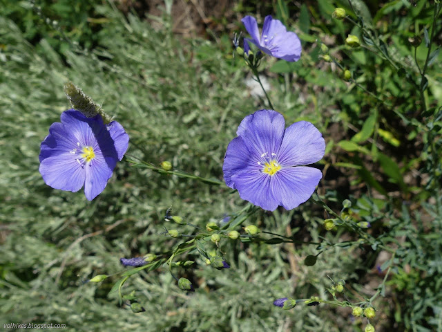


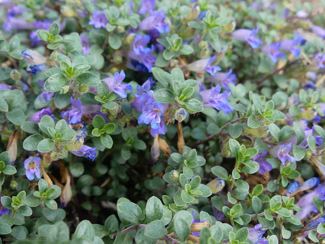
Coal Creek had a lovely little flow down it. The trail had been recently worked, but I still found a group of three trees across it, all rather easy to hop over. The day was warm, so it was nice to be among trees and flowers. Still, I was disappointed that it seemed I'd left all the interesting canyons behind.


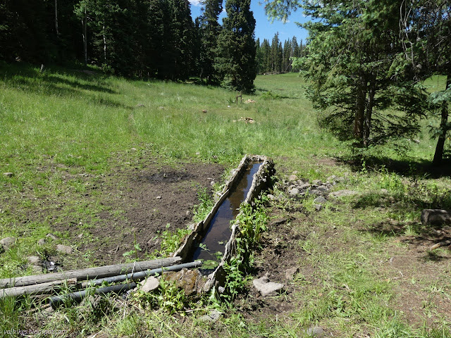
The creek ran out before the map indicated it became seasonal. I had been planning to grab some water before it became dry. I decided to just wait until Rock Spring. I found a smaller spring on the way, but it just emboldened me to believe the marked spring would be good. I heard Peggy saying, "You don't pass up water!" as I passed it up.


I passed a trail for a junction claiming that Rock Spring was further on while the trail breaks off up the hill. I couldn't actually see trail doing so and don't you believe it. The trail definitely goes along to Rock Spring and the well developed camp beside it before turning up the hill.

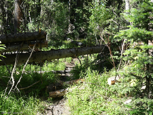
I grabbed plenty of water as the only sources for a few miles were marked as seasonal. I hoped one of them wouldn't be quite as seasonal as Coal Creek as it would be time to make camp when I got to it. I did not grab camp water as it really should be the season for flowing creeks. I headed up, missing the trail for a drainage, but got that sorted soon enough. Unfortunately, the camp was the end of any recent maintenance and there had been a lot of trees down in the last 2-3 years. I suspect a hiker before me had done their own maintenance on a couple things this year since there was a nice stack of three trees where the top two had been cut through. That still left the waist high bottom log to struggle over. The trail got hard for this section.
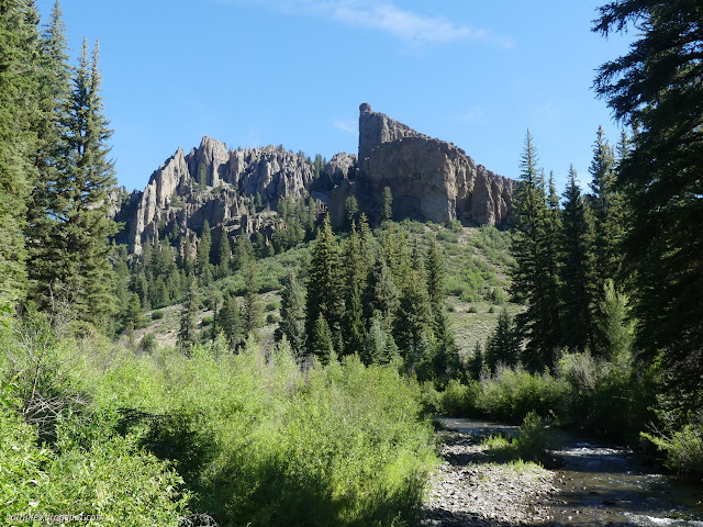
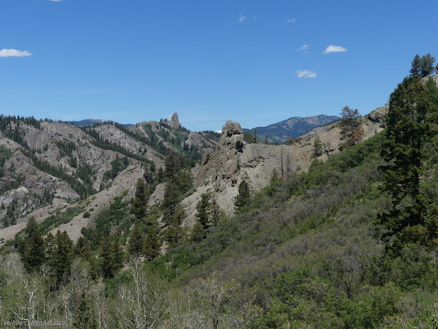
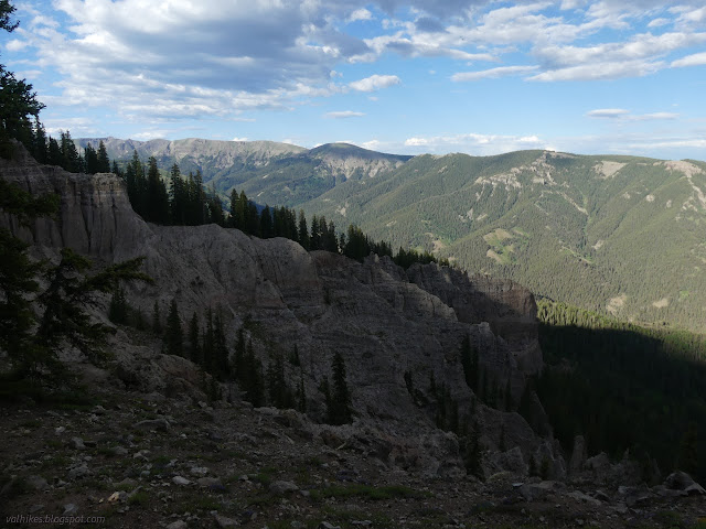
And then the trail broke out onto the rim of the West Elk Creek canyon and all was forgiven, or at least forgotten. Off on one side, a gentle slope with trees. Off on the other, something increasingly like a cliff where the trees are gradually thinning or retreating downward. The hints of visibility of the canyon beyond just a little bit breathtaking.

Once the trees did give way to views, the trail really tried to stay on the edge or maybe a little beyond. At least the canyon edge didn't drop off immediately.


The trail does leave the edge, though. It gets distracted by a large meadow. But that was alright. I found some new flowers in that meadow.


Then it's back to the edge to marvel at the canyon.

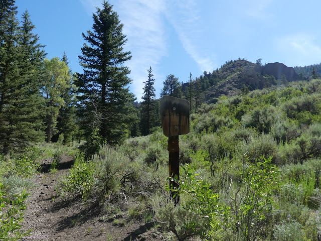
I came to what I presume is the other end of the Cow Creek Trail a bit earlier than expected from the map. There wasn't even a post to mark it, but this time I was heading off on the lesser used trail. If it was a trail. There were some old cuts on logs quickly to reassure me that it was. It climbs up through more trees and then hits another meadow. I worked hard at following that trail through the meadow and I managed to come across a fallen post to mark it, but after that, I could find no hints. The map said it should turn off to the right eventually, so I felt out where I'd put a trail and went with it. The map said I was a bit off, but I came to another post and found trail heading into the forest beyond.

In those trees was the creek I hoped to camp by. It actually isn't marked seasonal where the trail first meets it, but it is soon above there. There were some spots that seemed damper than the rest, but it was dry when I got there. I wasn't seeing places to camp around it either. I had to go on, probably another three miles.

Any day hikers would probably have gone back on Cow Creek Trail, but Coal Mesa Trail wasn't done having grand views of West Elk Creek.

Then I came up the little matter of Bonfisk Peak. It has a benchmark on it, so I wanted to go up it and it is clearly just a little bump of rock, so I expected it to be easy. The first side I came to wasn't easy, so I just continued along the trail, which also had some problems. It seemed to have a brief stretch that had fallen away, but I wasn't sure I was looking at the actual trail. I started across it, then decided I liked the look of going up better. I continued up on some scree and scrambled across and got to the far side and then, well, I had to get down. Actually climbing the peak from that side looked harder and with it being so late in the day, I decided I was going to have to leave it even if it was maybe 30 feet higher. Down was hard enough, but I could see a route. I slowly and carefully very nearly crawled down the knife edge and ledges to get back to the trail. It was innocently coming from the east side of the peak through grassy slopes, easy as can be.

However many trees and slips were on this trail, it at least used to be traveled by horse. There were recognizable old road apples on it still. Once in a while, there was a print. So I consoled myself that it wouldn't be that bad and headed north where, indeed, it really wasn't that bad. The map may say it crawls along the top of the ridge, but for the most part it goes along the west sides. Some of those sides are steep, but it is not falling away anywhere.

Then the trail finds some gentle grassy slopes to head down to where water is more assured. Still another mile, I was expecting, and it was already getting dark.


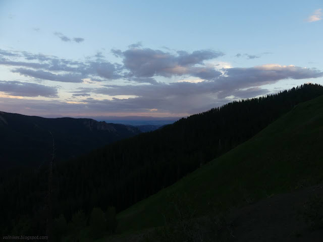
The trail popped down under some big trees and got hard to follow again. There are remnants of some nice switchbacks on that hill, but they are down under so many trees, they'll probably never be dug out again. Newer cuts go straight down or nearly so and I had to accept that as the route. It's what the map shows. Practically in the creek, if it were running. And then I realized it was running. On one side of me, there was the trickle of water. On the other side of me that was a spot wide enough to throw out a sleeping bag. I wasn't ready to trust the Colorado weather overnight, but there was enough room around it to throw up the tent. A little way off was a beautiful rock for setting a stove on. It could be made to work although not ideal. I continued on. The trail crossed the stream bed and I couldn't help noticing how dry it was. Down I went, just looking at how steep everything was. Steep grass, steep trees, thin narrow gully of a streambed. So steep. I turned on my heel and although the steep trail had left the spot a hundred foot climb, I climbed it. I arrived back at that "bird in the hand" as darkness enveloped me. I got out my light and set about my chores to turn it into a camp and get some food into me. It actually worked rather well.
Continue on to the next day ⇒
*photo album*
©2022 Valerie Norton
Written 29 Jul 2022
Liked this? Interesting? Click the three bars at the top left for the menu to read more or subscribe!


Comments