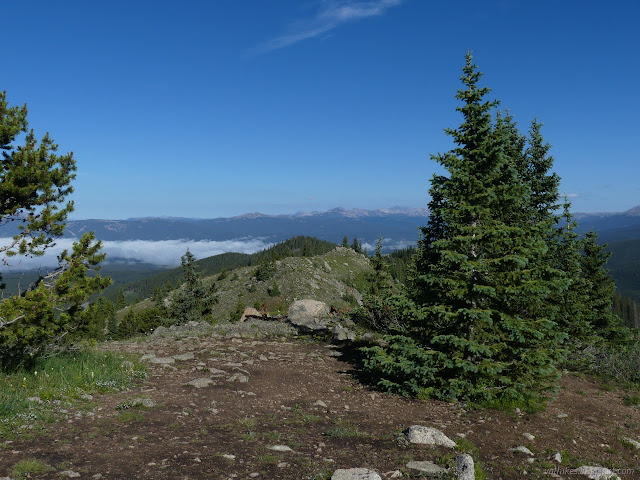
Cottonwood Pass picnic area
Gunnison National Forest
(map link)
I was down in the cloud covered valley nearish Taylor Park and decided to head up to the picnic area near the pass for breakfast. It's a much better view. It has a small use trail from the bathroom out to the edge of the Collegiate Peaks Wilderness, and, if you look closely, a little further either up or down the ridge line.


I looked out over the congressionally designated wilderness and took it into my mind to go there, where there was a massive green shoulder of mountain above tree line.

Trail along the ridge was hard to find at first, but then there was a sudden very clear piece that happens to come from the old picnic area. This is the one shown on my Forest Service topo, accessed via a 4x4 road off the improved gravel road over the pass. (It's paved now and very clearly been rerouted in a few spots. The picnic access is also paved. Gunnison really needs to update their stuff.) There's even a sign post on the ridge, but the sign is gone.
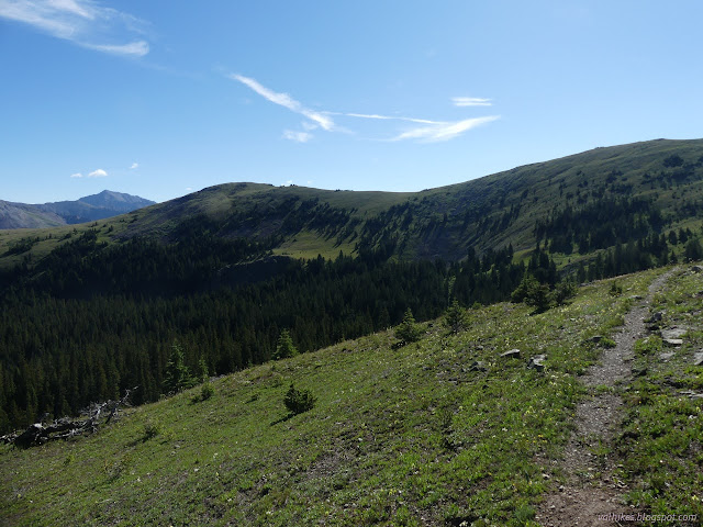
This trail started dropping off the ridge on the wilderness side of the ridge, but it continued to be really good, so I continued to follow it. It got into a spot where the starts of a few streams were shown on my map and finally vanished. Someone had stacked a few rocks to mark the last visible spot. I had seen some more trail further along in the valley, though. The little streams were mildly difficult to navigate, but the section was short. Once past it, I had fairly easy cross country, then I really was on trail again, basically all the way to the shoulder.


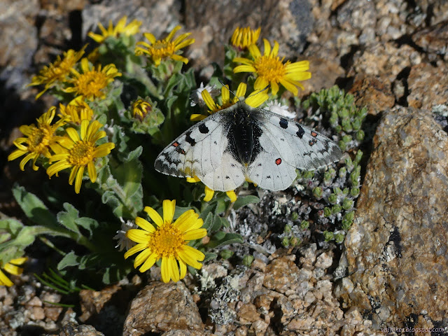
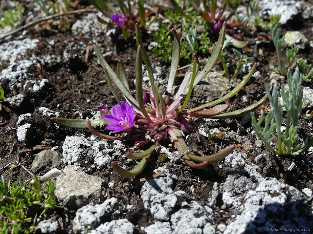
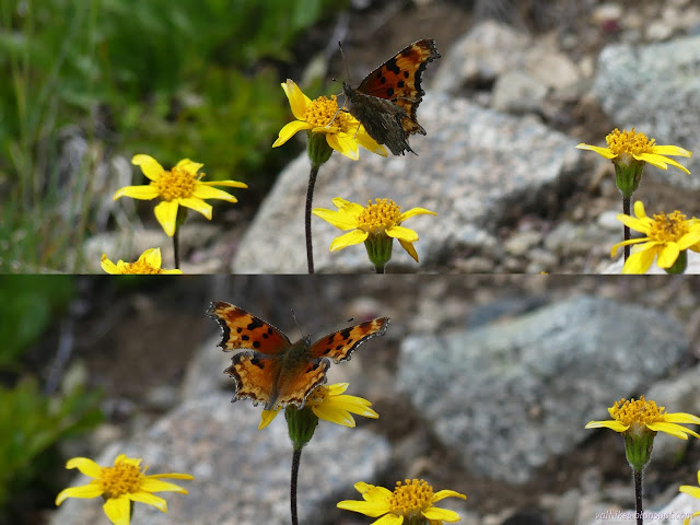
I set to recording flowers, choosing one around me, then moving 20-30 feet and choosing another. The flowers changed from the edge to the ridge, so I missed my chance for a few.


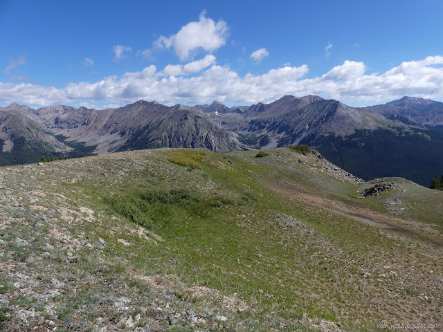
Of course, I had wanted to go to the shoulder to take in the undoubtedly grand view that could be had from it. I was looking out on grand peaks, some of which missed out on being 14ers by less than 100 feet. There's some 14ers too.


So, how to go back? I had thoughts about dropping down the ridge, one way or another, to connect with the trail below (where OpenStreetMap suggested I would find the CDT following the South Texas Trail) and follow it to the pass, then ridge walk back to the start.

I wandered the ridge a little looking at it and decided to skip the first part and just walk the ridge back. The plants changed as I climbed, too.


At the top, I found myself in a common flight path of both commercial and military planes. If the planes are flying, does that mean thunder storms are unlikely in the near term?


I was not alone on the ridge. I spotted a couple striding down the side toward the picnic area. The ridge itself has faint trail through the alpine tundra. Where there's faint trail, I get indecisive about following it. If it is going to turn into trail, it's best to follow it and leave the rest untrod. If it won't, it's best not to. Here, I suspect trails will form.


Going down had more trail, but also a couple rocky peaks that were a little boulder hopping to get around. Some people went over. That seems a valid choice, too. I liked around. Mostly, it was just a walk like the rest of the trip.


I decided to follow the strong trail down and see the old picnic area. It did go right there. There were more tables, now mostly decayed leaving only the concrete base. There were large grills for fires even though the area is above 12000 feet.


Then I found my way down the hill to the new picnic area where the plastic "wood" tables probably won't rot away very quickly and it's a little more accessible. It even has accessible tables and toilets. It could use some accessible ramps to get between those and the parking lot. Still a nice picnic area with a hidden hike possible.
*photo album*
©2022 Valerie Norton
Written 15 Aug 2022
Liked this? Interesting? Click the three bars at the top left for the menu to read more or subscribe!


Comments