Mount Elbert
San Isabel National Forest
(map link)
I've been feeling a little off, like I'm never quite getting in shape or not quite acclimating or maybe anemia is taking stronger hold. The Red Cross thinks about not letting me donate blood if I've not been taking my iron for a month. Then there seems to be this mild sickness of stomach that takes hold around 12.5k (and then is gone once higher) that could be any of that, or just deep nervousness since the weather is never quite cooperating for going up so high. Whatever the reason, it was causing me to pass up the very tall mountains. I did look at the usual route for Mount Yale and find it likely quite suitable for my abilities, but decided against. I didn't even look at many more. However, I could not pass up Mount Elbert. The Colorado high point. It has not one, but three trails to the top, and these trails are actively being improved to the point that they actually comply with modern trail standards. I decided to go up the North Mount Elbert Trail (1184), which does happen to be the one they are still working on. Then I might go down the South Mount Elbert Trail (1481, which is, confusingly, the one going off the east side toward Twin Lakes, not the south side toward Lake Creek, 1480) and back along the Continental Divide Trail.

I woke at 4AM, which was not the plan, but did make it easier to have a leisurely and dark breakfast before driving over to the nearly full trailhead parking by 6AM. There seemed to be a bit of a surge of people then. A good, sensible time to be starting. I saw claims that people in "reasonable shape" should be able to get to the top in 5 hours one spot and 6 hours another. So, light when starting and still at the top by noon. Of course, recommendations are to be back down in the trees by noon, so maybe it's not quite early enough. The trailhead sign noted there was work being done rerouting the trail, but we weren't allowed to use this new route. There is a short connector, then one turns south on the CDT (and Colorado Trail in this section) for about a mile. I settled into an I-could-climb-hills-all-day pace, meaning I was getting passed by all those in the 6AM surge who got on the trail after me. I would see most of them again and again and again on the way up.


Trail was generally following old logging roads. Unused routes split off every once in a while. The trees around grew thickly in tall spindles. At their roots where a thinner scattering of stumps not all that much wider than they were. Views were few and limited.
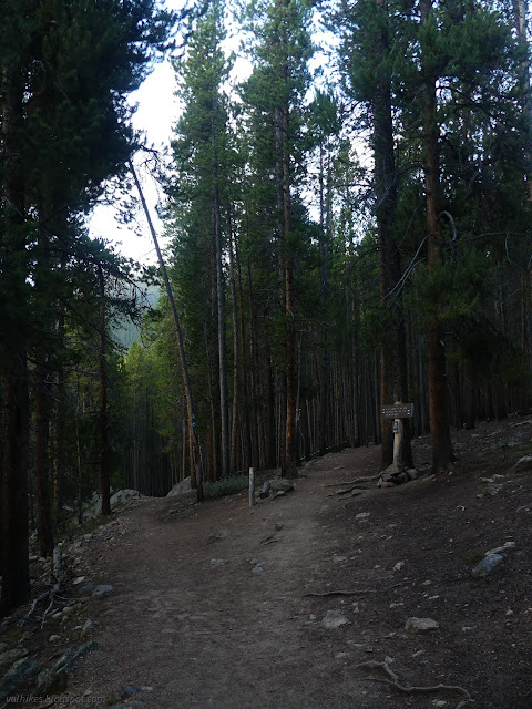
I was getting a little worried about how steep the trail would get. It starts about 10050 feet and climbs to 14433 feet in not much more than 4.5 miles. That's almost 1000 feet per mile to climb and the first 1.5 miles were not doing their share. The old road we were following split, with the right heading back and up. That's the one the trail followed, becoming ever steeper and not looking like old road at all as we got to a lot of stone work with very tall steps. We passed signage and a few bags, but couldn't actually see the volunteers working on that section of the trail in the trees.

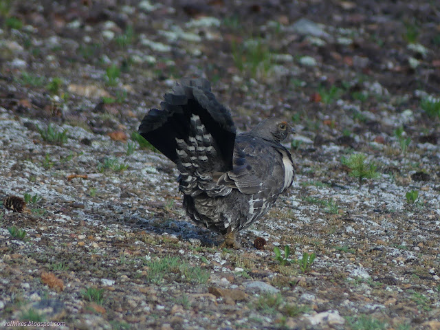
The climb was steep until nearing the point where we broke out of the trees the first time. It's flat shortly and there are numerous well used camps near the trail. It would be nice if they were only used by people well versed in Leave No Trace, but at least some of the folks who camped here stuffed toilet paper under random rocks and logs condemning those of us who came after to seeing these wads until they finally dissolve in the rain and run down into the stream I could hear off to the right. I found a spot that seemed less disgraced than the rest for a sit and a snack and a viewing of a grouse. I hadn't expected the bird. I tried to share my discovery with a father and two sons. "There's a grouse in through there!" They didn't know what a grouse was. "Mountain chicken?" No interest. The bird, for it's part, looked uncomfortable, puffed a little around the neck, and strutted off.
Past the camping area was a brief opening in the trees, then one last stand (but no flat spots for sleeping), then nothing but open alpine tundra. At this point, there's about 2500 feet to climb to the top. Oh, yes, it is long and exposed.


I wondered why a bunch of fools were climbing their way up a steep slope to a false peak when there was much nicer trail heading off to the side. Well, because this was the reroute we weren't to go following. The professionals were on this one and it doesn't yet go anywhere. So I joined the fools scrambling up the rocks. This is the last trail getting fixed.
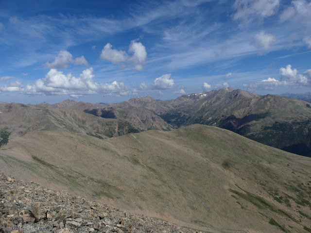

It was just 10:30AM as I hit the top. That's 4.5 hours for climbing 4.5k feet. Maybe all that's off with me is my expectations of how I should be feeling? There was already one rather large, dark cloud I was watching.


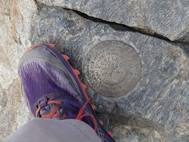
I spent a while on the top. I pondered the Earthcache a little. I actually found the physical geocache and had to go back down a little for a second. I had looked for one above 14k feet before, but Quandary would not show it. It's not in wilderness, so these things are allowed. I also had to listen to the awful buzz of a drone. It's not in wilderness, so these things might be allowed. At least three people were recording things for their YouTube channels. Guess that's not particularly unique content. (This neither, but go back a post and there's something much less traveled.)
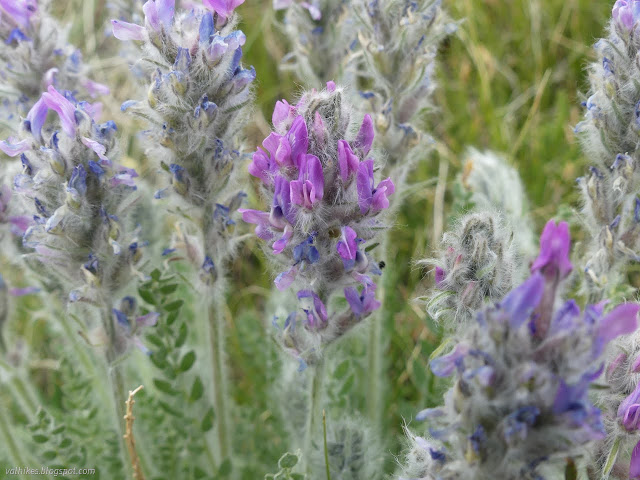
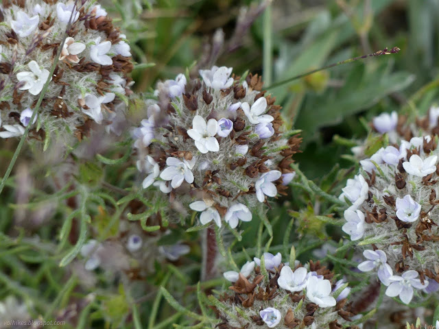
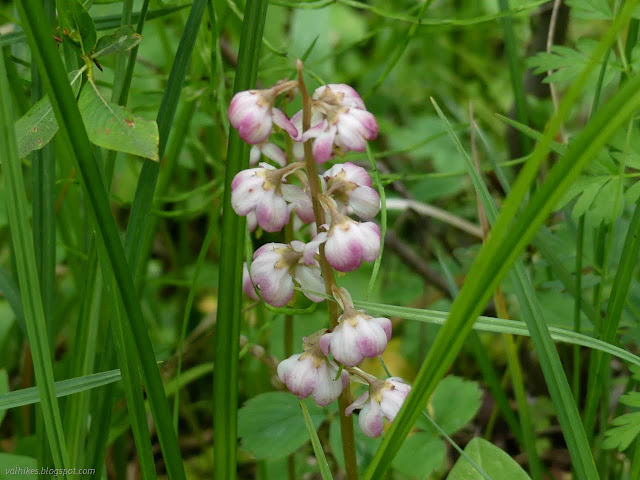
Then, when the weather really did seem to be threatening, I headed down. Almost everyone else had already done so. I decided on doing the South Mount Elbert Trail and making a loop of it after all. I think there was a greater diversity of flowers on this trail, but that might have just been a consequence of having more time to look while not racing upward.


A fat, lumbering plane skimmed its way over one of the saddles between Elbert's main peak and south peak. I should have got a picture even though the camera was in flower mode at that moment. It was on and in my hands, I had a chance. It was a crazy sight!


After a short break as the weather looked worrying, there were people climbing again. It still looked worrying to me, but did seem to be improving.


The trees seemed lower down than on the other trail, but eventually I got to some. Like the other, there were well used camps in the first flat area in the trees. Not everyone wants to drive however far to get to a filling trailhead parking at 6AM or earlier.


After the pines got thicker and then changed to aspen, also generally spindly, I finally arrived at the CDT/CT ready to march north for another, well, 5 miles. Some of that I would have had to do anyway. The junction comes with a verbose sign on poop which contains the delightful, "If you aren't carrying it out, you're drinking it." Up at the top, you certainly can't bury it, so it's all too true. I sometimes see a curious "technique" where waste just gets squished under a rock. In dry places like Los Padres National Forest, this mummifies and you get to see the results for years. Here, where it's been raining every afternoon, it dissolves and runs into the creeks. The toilet paper stays longer to hint to all who come after of the bad behavior.

There's also a sign detailing the trail work and what has been done. Still a little to do on that northern trail, but it will get there. Otherwise a lot of work has been finished on the other two trails. I headed north. There aren't many views along the way. There are mystery trails heading down toward the mill. There are old roads that might have been more than logging since they now sport "no motor vehicles" signs. They've worked, there haven't been any for a long time.

It did eventually rain and let a little thunder roll. I was nearly back to the car when it tried to get me wet. The lot was almost as nearly empty as it was nearly full when I started. That's one more state high point bagged.
*photo album*
©2022 Valerie Norton
Written 21 Sep 2022
Liked this? Interesting? Click the three bars at the top left for the menu to read more or subscribe!


Comments