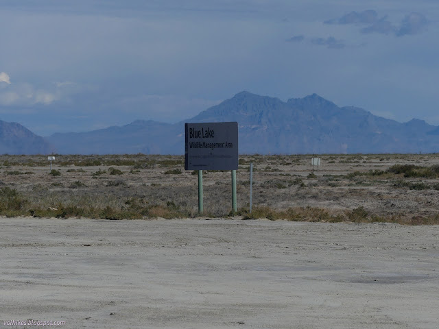
Blue Lake Wildlife Management Area
Utah Division of Wildlife Resources
(map link)
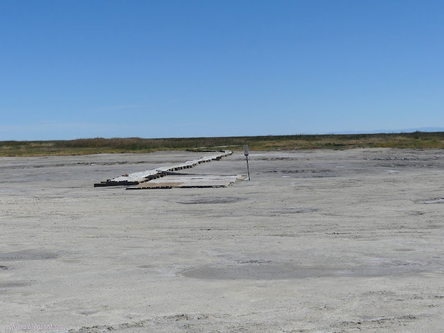
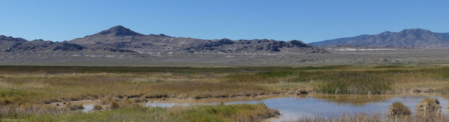
Out near the edge of miles and miles of flat flat flat desert is a bit of water. A pond. A pool, really. A fairly deep pool, in fact. Deep enough to attract scuba divers. I saw some with an electric pump that only allows them to go about 15 feet deep and others with actual tanks to go all the way, 60 feet down. They came with little spears and fishing poles to get fish. There's even scuba classes that come out to the lake.


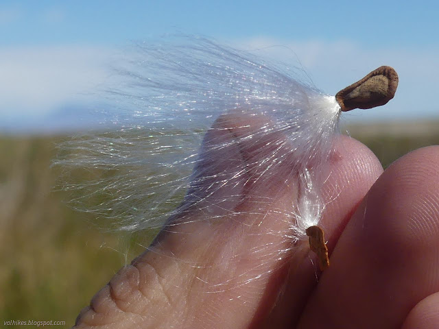
I found distractions among the plants beside the boardwalk as it approaches the water, especially in the big pods from the milkweed that were letting their seeds disperse.

Digression about milkweed: Those filaments are hollow and light and insulating and have been investigated as a down alternative. They stay insulating even when wet or compressed. However, they seem to need a support system to stay as a fill rather than compacting together. Mixed with down, they'll perform like an overfill. There's a current effort to bring a woven product to market. It all sounds quite interesting. I've noticed a glaring omission on the topic of how well it packs away when not in use, and sort of suspect it may not compress well. Okay, digression ended.


*Lake Bonneville photo album*
©2022 Valerie Norton
Written 7 Dec 2022
Liked this? Interesting? Click the three bars at the top left for the menu to read more or subscribe!


Comments